
Jemaja, district in Anambas Islands Regency, Riau Islands Province, Indonesia
Location: Anambas Islands
Elevation above the sea: 196 m
GPS coordinates: 3.02000,105.71667
Latest update: April 1, 2025 16:46
Sultan Mahmud Mangkat Di Julang Mausoleum
247.2 km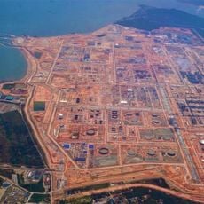
Pengerang Integrated Petroleum Complex
253.7 km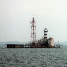
Horsburgh Lighthouse
237.9 km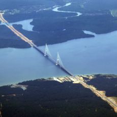
Sungai Johor Bridge
250.9 km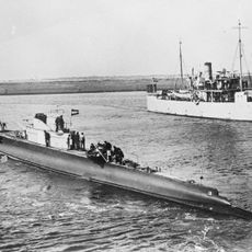
HNLMS K XVII
169.4 km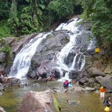
Kota Tinggi Waterfalls
247.9 km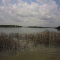
Sultan Iskandar Reservoir
258.7 km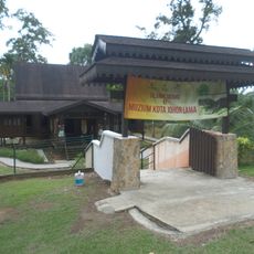
Kota Johor Lama Museum
247.7 km
Fisherman Museum
225.4 km
Kota Tinggi Museum
246.3 km
Kota Tinggi Town Mosque
247.2 km
Firefly Valley Leisure Park
248.5 km
Muzium Nelayan Tanjung Balau (Fishermen Museum)
225.4 km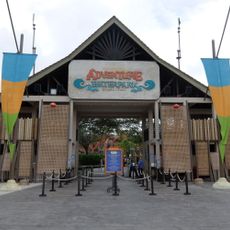
Desaru Coast Adventure Waterpark
230.9 km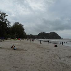
Tanjung Leman Beach
213.7 km
Teluk Sengat Crocodile Farm
248.1 km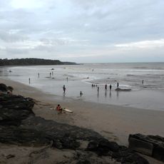
Sedili Kechil Beach
218.4 km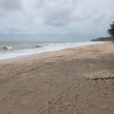
Desaru Beach
230.3 km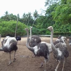
Desaru Ostrich Farm
246.3 km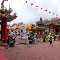
Taman Bayu Damai Temple Village
243.9 km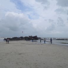
Tanjung Balau Beach
225.3 km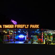
Kota Tinggi Firefly Park
247 km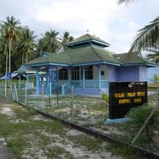
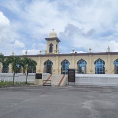
Besar Island Mosque
203.9 km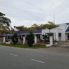
Mersing Museum
218.7 km
Sarang Buaya
259.5 km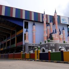
TS Wonderland Waterpark
262.4 km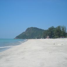
Air Papan Beach
216.8 km
Mersing Town Forest Park
218.8 kmReviews
Visited this place? Tap the stars to rate it and share your experience / photos with the community! Try now! You can cancel it anytime.
Discover hidden gems everywhere you go!
From secret cafés to breathtaking viewpoints, skip the crowded tourist spots and find places that match your style. Our app makes it easy with voice search, smart filtering, route optimization, and insider tips from travelers worldwide. Download now for the complete mobile experience.

A unique approach to discovering new places❞
— Le Figaro
All the places worth exploring❞
— France Info
A tailor-made excursion in just a few clicks❞
— 20 Minutes