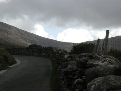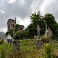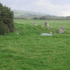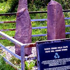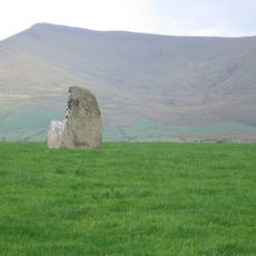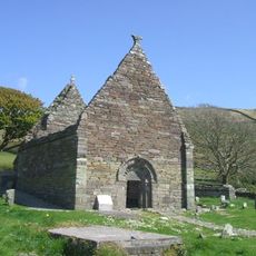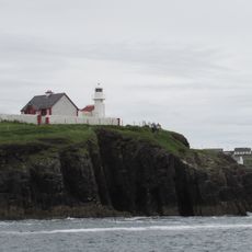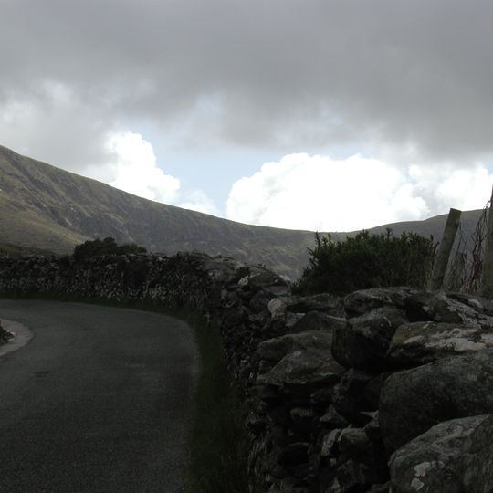
Conor Pass, Mountain pass in County Kerry, Ireland.
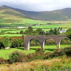
Conor Pass is a 456-metre mountain pass on the R560 road across the Dingle Peninsula, linking Dingle with Brandon Bay and Castlegregory. The asphalted road is a twisty single lane that runs past sharp cliff faces and high corrie lakes, passing at its highest point between the peaks of Binn Dubh and Sliabh Mhacha Ré.
In 1849 the alpine climber John Ball (1818–1889) recognised, at Lough Doon about a kilometre from the summit, that the corries below the pass were of the same kind as the cirques of Switzerland, a key step in understanding past glaciation. The pass road is now the R560, linking Dingle with Brandon Bay and Castlegregory.
The name An Chonair means "the way or path" in Irish. From the village of Cloghane, a straight pilgrim road runs past the kettle holes of the valley floor, which the Cloghane River flows through. The pass lies on the R560 road linking Dingle with Brandon Bay and Castlegregory.
The road requires careful driving due to steep gradients and can become challenging in poor weather. Fog and rapid weather changes reduce visibility and affect safety, so drive slowly and be ready for shifting conditions.
The pass area is a refuge for alpine flora that survived the end of the Ice Age glaciation; every plant species here also grows elsewhere in Ireland, but this is the only place where they occur together. In 1849, at Lough Doon about a kilometre from the summit, the mountaineer John Ball (1818–1889) recognised that these corries were of the same kind as the cirques of Switzerland, a key step in understanding glaciation.
The community of curious travelers
AroundUs brings together thousands of curated places, local tips, and hidden gems, enriched daily by 92,724 contributors worldwide.