Cahersiveen, town in Ireland
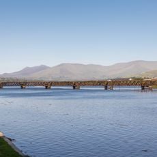
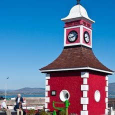
Cahersiveen is a small town in County Kerry on Ireland's southwest coast that functions as a practical hub for exploring the Ring of Kerry route. The settlement spreads mainly along a main street lined with stone buildings, local shops, and traditional pubs that form the backbone of community life.
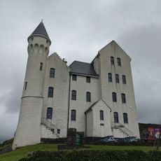
The town was established in the 19th century, beginning as a fishing village that grew with the construction of a prison and improved infrastructure. The place maintained its maritime and agricultural roots while gradually developing into a supply center for the surrounding region.
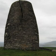
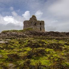
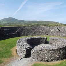
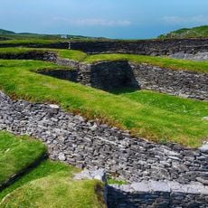
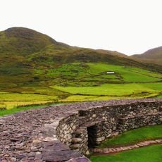
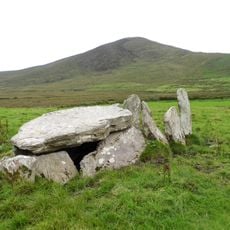
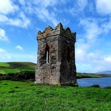
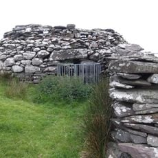
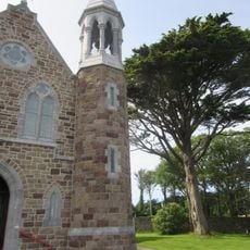
The name comes from the Irish word meaning stone fort, reflecting the medieval stronghold that once dominated the area. Today the town takes on a modest, workaday appearance with colorful shop fronts and pubs serving as natural gathering places for locals.
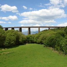
The town is easy to reach by car and sits directly on the Ring of Kerry road, making it a natural stopping point. There is ample parking around the main street, and most shops and services are within walking distance.
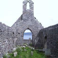
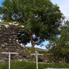
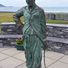
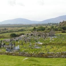
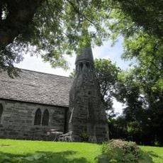
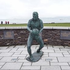
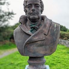
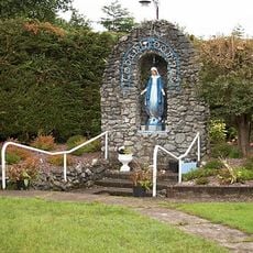
The town holds a notable connection to Irish independence movements, with significant political figures having lived and worked here. Visitors can discover various historical monuments and buildings that reflect this important link to Irish history.
The community of curious travelers
AroundUs brings together thousands of curated places, local tips, and hidden gems, enriched daily by 60,000 contributors worldwide.