
Ballyvourney, village in the Republic of Ireland
Location: County Cork
Elevation above the sea: 154 m
GPS coordinates: 51.94478,-9.16324
Latest update: May 22, 2025 23:02
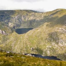
Mangerton Mountain
22.2 km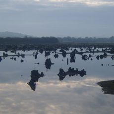
The Gearagh
13.1 km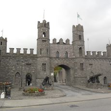
Macroom Castle
14.6 km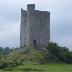
Carrigaphooca Castle
10.1 km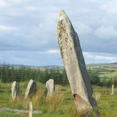
Knocknakilla
11.7 km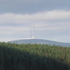
Mullaghanish
4.5 km
Glantane East
10.5 km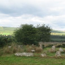
Carrigagulla
16.7 km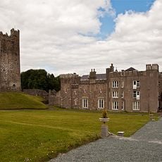
Drishane Castle
16.7 km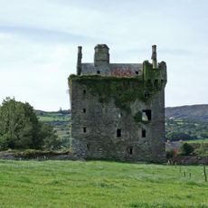
Togher Castle
20.4 km
Shanacloon
1.3 km
Millstreet County Park
14.2 km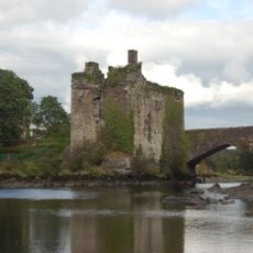
Carrigadrohid Castle
21.9 km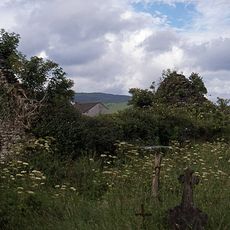
Kilgarvan Church
19.4 km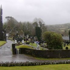
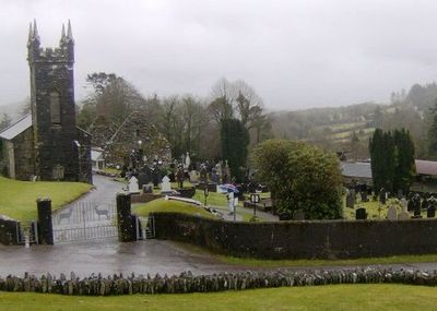
Ballyvourney Church
771 m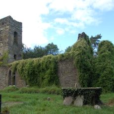
Toberatemple Church
19.3 km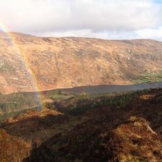
Gouganeharra Forest Park
16.4 km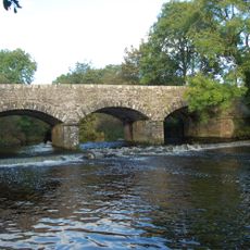
Laney Bridge
16 km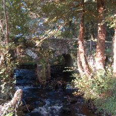
Hanover Hall Bridge
15.5 km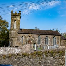
St Colman's Church
14.5 km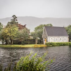
St Finbarr's Oratory
15.8 km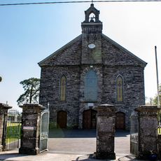
St Finbarr's Church
11.7 km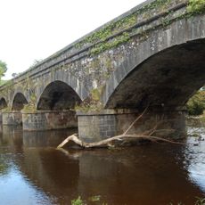
New Bridge
16 km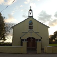
St John the Baptist Church
17.8 km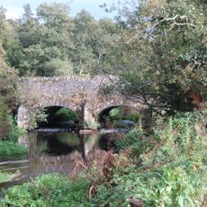
Athsollis Bridge
21.2 km
Warren's Bridge
20.7 km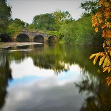
Carrigaphooca Bridge
10.3 km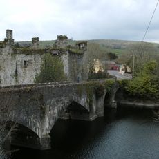
Carrigadrohid Bridge
21.9 kmVisited this place? Tap the stars to rate it and share your experience / photos with the community! Try now! You can cancel it anytime.
Discover hidden gems everywhere you go!
From secret cafés to breathtaking viewpoints, skip the crowded tourist spots and find places that match your style. Our app makes it easy with voice search, smart filtering, route optimization, and insider tips from travelers worldwide. Download now for the complete mobile experience.

A unique approach to discovering new places❞
— Le Figaro
All the places worth exploring❞
— France Info
A tailor-made excursion in just a few clicks❞
— 20 Minutes