Enable Location

We need your location to show you interesting places around you

Discover nearby places

Find interesting locations and hidden gems around you

Precise directions

Get accurate directions and distances to places

Your location is never shared with other users. It's only used when you tap the location button.

Ring of Kerry

Log in to your account

Start exploring — it's free

Trusted by 61,763 travelers worldwide

Continue with Google
Continue with Apple
or

We will send you a code to connect

By continuing, you accept our Terms and Conditions and our Privacy Policy

Check your inbox

We've sent a pincode in your inbox. Please enter the code below.

Ring of Kerry

Ring of Kerry, Circular driving route in County Kerry, Ireland.

Description

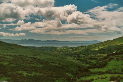
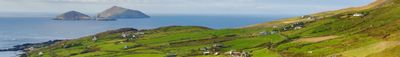
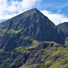
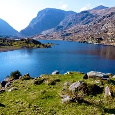
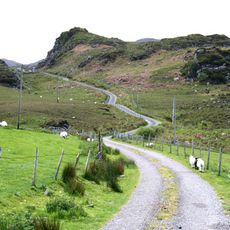
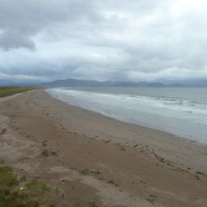
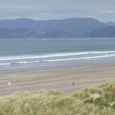
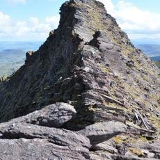
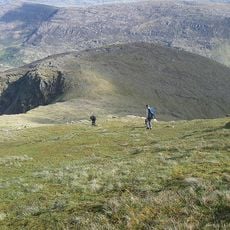
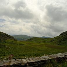
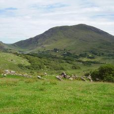
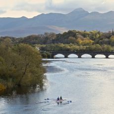
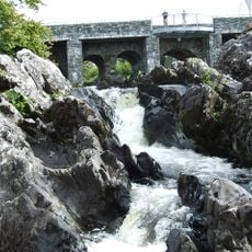
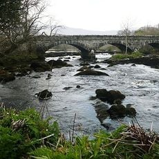
Ring of Kerry is a circular route on the Iveragh Peninsula in County Kerry, linking villages through coastal roads and mountain passes. The route offers views of the Atlantic, rocks along the shore, and green slopes rising toward the mountains.

History

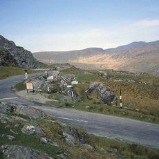
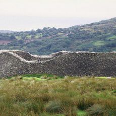
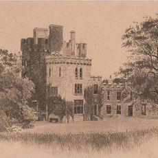
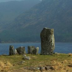
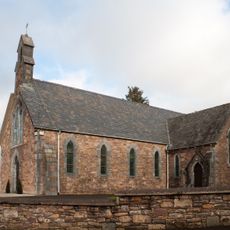
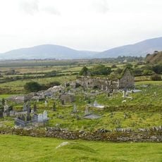
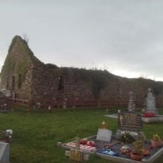
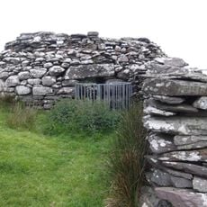
The road follows old trading paths that linked coastal settlements with the interior, and was developed as a tourist route starting in the 1970s. Along the way stand ruins of forts and monasteries dating back to medieval times, showing the religious influence in the region.

Culture

The road passes through towns like Killorglin, where the annual Puck Fair crowns a goat on a platform since 1613. This three-day celebration shows old trading traditions with livestock parades and markets that still draw people from all regions.

Practical

Most travelers drive counterclockwise from Killarney, since tour buses favor this direction and parking bays sit on the correct side. Those who want to stop at viewpoints or small towns should plan the whole day, as many spots reward a pause.

Did you know?

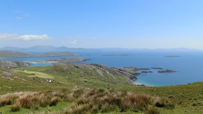
Skellig Michael, an island visible from the southern coast of the loop, holds remains of a monastery settlement from the 6th century on its summit. The island served as a filming location for recent movie productions and has since drawn even more visitors, though only a limited number of boats may travel there each day.

Location
GPS coordinates
51.94889,-9.91750
Latest update
December 12, 2025 17:55

AroundUs brings together thousands of curated places, local tips, and hidden gems, enriched daily by 60,000 contributors worldwide. Discover all places nearby (County Kerry).

Photogenic places in Ireland: cliffs, castles and historic sites

Ireland offers photographers a combination of historical structures, landscape formations and coastal sections. The island contains medieval fortresses such as Blarney Castle and Rock of Cashel, basalt formations at Giant's Causeway, and early medieval monastery sites at Glendalough. Trinity College...

« Ring of Kerry - Circular driving route in County Kerry, Ireland » is provided by Around Us (aroundus.com). Images and texts are derived from Wikimedia project under a Creative Commons license. You are allowed to copy, distribute, and modify copies of this page, under the conditions set by the license, as long as this note is clearly visible.

Discover hidden gems everywhere you go!

From secret cafés to breathtaking viewpoints, skip the crowded tourist spots and find places that match your style. Our app makes it easy with voice search, smart filtering, route optimization, and insider tips from travelers worldwide. Download now for the complete mobile experience.

Around Us App Screenshot

A unique approach to discovering new places

Le Figaro

All the places worth exploring

France Info

A tailor-made excursion in just a few clicks

20 Minutes

Around Us
Travel Guide & Maps
Download

Send to your phone

QR Code
1

Open the camera app on your mobile.

2

Point at the QR code with your camera. A notification will appear.

3

Tap the notification to open the link.