
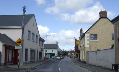
Sixmilebridge, town in Munster, Ireland
Location: County Clare
Elevation above the sea: 8 m
GPS coordinates: 52.74333,-8.77060
Latest update: March 5, 2025 14:01
Bunratty Castle
5.9 km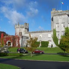
Dromoland Castle
10.1 km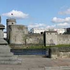
King John's Castle
12.8 km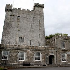
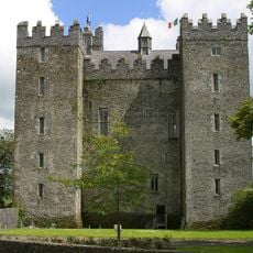
Knappogue Castle
7 km
Shannon Free Zone
9.7 km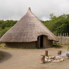
Craggaunowen
7.8 km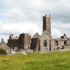
Quin Abbey
10.5 km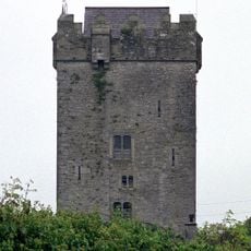
Ballyhannon Castle
11.3 km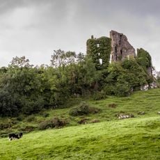
Carrigogunnell
10.9 km
Mooghaun
8.5 km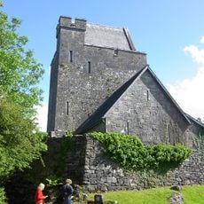
Craggaunowen Castle
7.7 km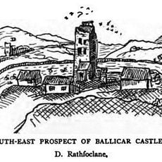
Ballycar Castle
7.4 km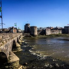
Thomond Bridge
12.6 km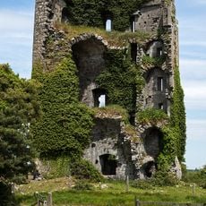
Ballymarkahan Castle
8.1 km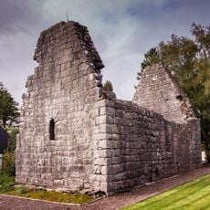
Kilrush Church
12 km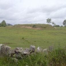
Magh Adhair
11.6 km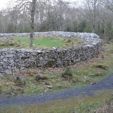
Moghane Hillfort
8.7 km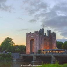
Bunratty Bridge
5.9 km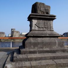
The Treaty Stone
12.6 km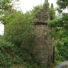
D'Esterres' Bridge
3.2 km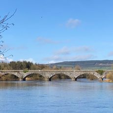
Athlunkard Bridge
12.9 km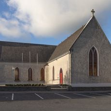
St Mary's and St Finaghta's Church
379 m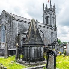
St Munchin's Church
12.7 km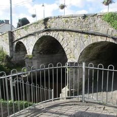
Quin Bridge
10.5 km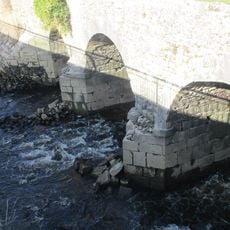
Latoon Bridge
11.7 km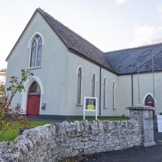
St John the Baptist's Church
8.4 km
Our Lady of the Rosary Church
12.1 km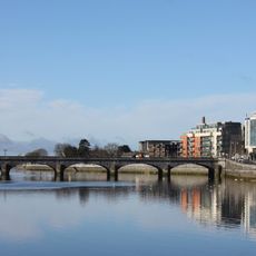
Sarsfield Bridge
12.8 kmVisited this place? Tap the stars to rate it and share your experience / photos with the community! Try now! You can cancel it anytime.
Discover hidden gems everywhere you go!
From secret cafés to breathtaking viewpoints, skip the crowded tourist spots and find places that match your style. Our app makes it easy with voice search, smart filtering, route optimization, and insider tips from travelers worldwide. Download now for the complete mobile experience.

A unique approach to discovering new places❞
— Le Figaro
All the places worth exploring❞
— France Info
A tailor-made excursion in just a few clicks❞
— 20 Minutes