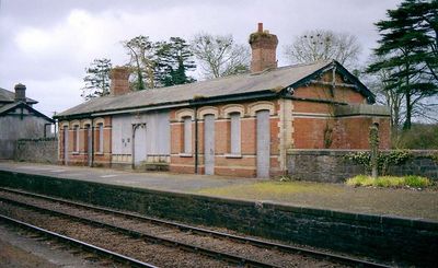
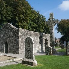
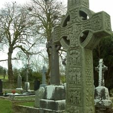
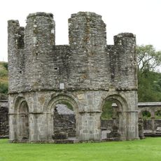
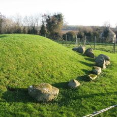
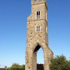
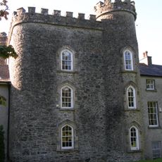
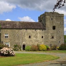
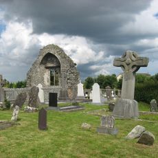
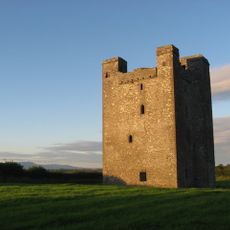
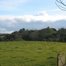
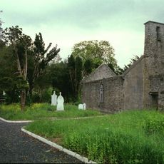
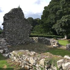
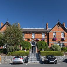
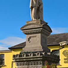
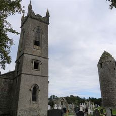
Dunleer, town and townland in County Louth, Ireland
Location: Leinster
Elevation above the sea: 39 m
GPS coordinates: 53.83333,-6.40000
Latest update: May 1, 2025 01:50
Monasterboice
6.3 km
Muiredach's High Cross
6.3 km
Mellifont Abbey
11 km
Hunky Dorys Park
12.6 km
Boyne River Bridge
12.9 km
Boyne Obelisk
12.1 km
Townley Hall
12 km
Barmeath Castle
4.2 km
Ardee Castle
9.4 km
Townleyhall passage grave
12.9 km
Magdalen Tower
13.2 km
Smarmore Castle
11.1 km
Athclare Castle
2 km
Dromiskin Monastery
9.9 km
Roodstown Castle
7.2 km
Greenmount Motte
5.1 km
Mansfieldstown Church
7.7 km
Kildemock Church
7.9 km
Obelisk Bridge
12.1 km
St Peter's Church of Ireland, Drogheda
13.4 km
Annagassan Bridge
6.6 km
The Church of the Nativity of Our Lady
9.3 km
Scholars Townhouse Hotel
13.3 km
Sir Frederick Foster Memorial
9.7 km
St Ronan's Church
9.9 km
Drogheda College of Further Education
13.4 km
Hatchs Castle
9.5 km
Reviews
Visited this place? Tap the stars to rate it and share your experience / photos with the community! Try now! You can cancel it anytime.
Discover hidden gems everywhere you go!
From secret cafés to breathtaking viewpoints, skip the crowded tourist spots and find places that match your style. Our app makes it easy with voice search, smart filtering, route optimization, and insider tips from travelers worldwide. Download now for the complete mobile experience.
A unique approach to discovering new places❞
— Le Figaro
All the places worth exploring❞
— France Info
A tailor-made excursion in just a few clicks❞
— 20 Minutes