Ballybofey, human settlement
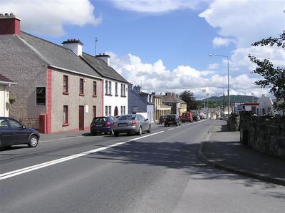
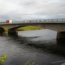
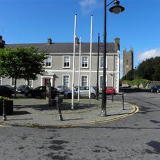
Ballybofey is a human settlement in County Donegal, connected to Stranorlar across the River Finn and serving as a main commercial center of the region. The town has traditional shops, small cafes, and the well-known McElhinney's store, which draws visitors from across Ireland.
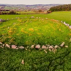
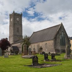
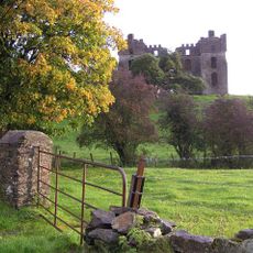
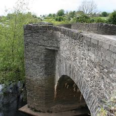
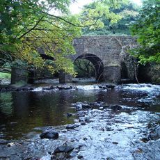
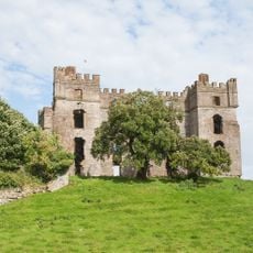
The region was settled in the Elizabethan period, as shown by the ruins of nearby Drumboe Castle. Isaac Butt, a leader of the Irish nationalist movement, was born near Ballybofey and was buried in Stranorlar after his death in 1879.
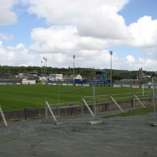
Ballybofey functions as the center of the fertile Finn Valley, where locals and visitors gather to shop and socialize. The people here are known for their warmth and willingness to share stories about the town's past and present.
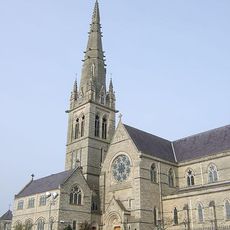
The town is easy to explore on foot and works well as a base for discovering the surrounding region, including beaches, mountains, and small villages. Visitors find simple accommodations, shops, and restaurants here that make for a comfortable stay.
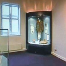
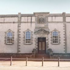
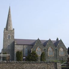
The Isaac Butt Heritage Centre documents the story of a leader of the Irish independence movement and reveals how his life is connected to this place. Dr. Nancy McGlinchey, noted for her work in medicine, also came from the area and left a personal mark on local history.
The community of curious travelers
AroundUs brings together thousands of curated places, local tips, and hidden gems, enriched daily by 60,000 contributors worldwide.