Montpelier Hill, Mountain summit in County Dublin, Ireland
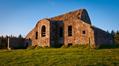
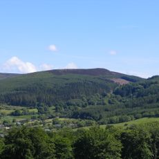
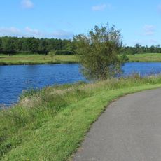
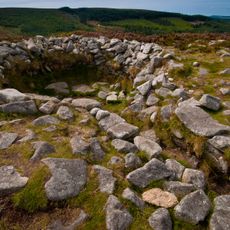
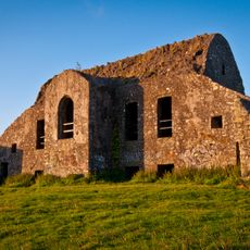
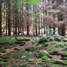
Montpelier Hill is a 383-meter (1257-foot) summit on the northern section of the ridge encircling Glenasmole valley in County Dublin. Stone ruins stand at the highest point and overlook gentle slopes and moorland in all directions.
William Conolly built a residence in 1725 that later served as the meeting place for a notorious club. Between 1735 and 1741, gatherings took place here that became known for their provocative atmosphere.
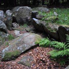
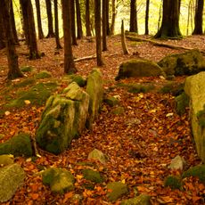
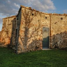
The name comes from a residence that once stood on the hill and whose stone walls remain visible today. Hikers often encounter the remains of a prehistoric passage tomb set into the rock, evidence of early settlement.
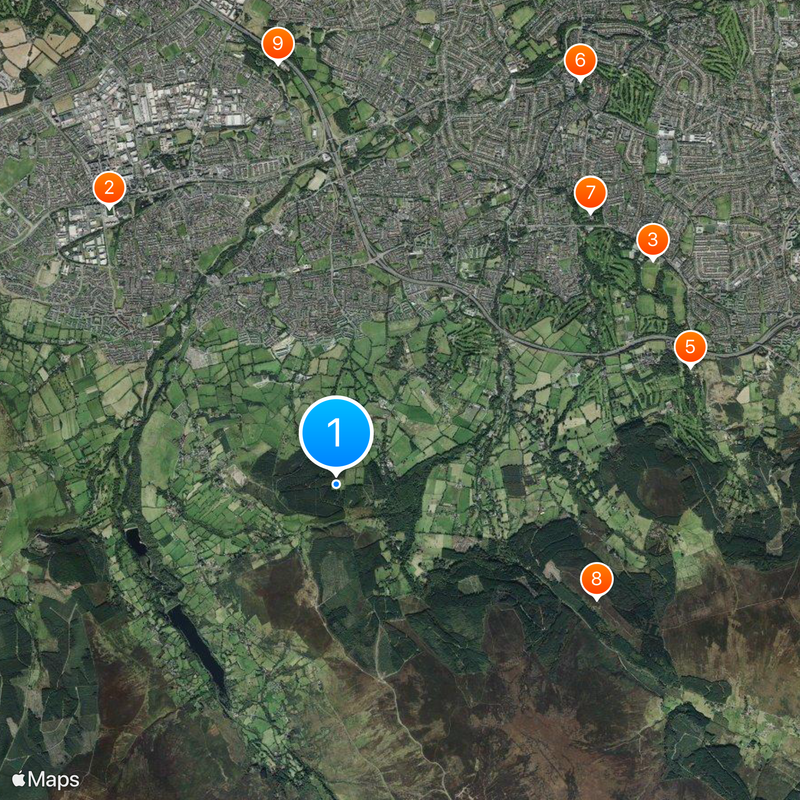
The hiking trails begin at the parking area along road R115 and lead through open moorland up to the summit. The ascent takes about one hour and follows partly rocky paths that can become slippery when wet.
Shortly after the residence was completed, a severe storm carried away the roof, an event still recounted today. Some visitors report unusual sounds in the ruins, especially on windy days.
Location: County Dublin
Elevation above the sea: 383 m
GPS coordinates: 53.25171,-6.33033
Latest update: December 5, 2025 16:37
Tallaght Stadium
4.6 km
Marlay Park
5 km
St. Enda's School
4.8 km
Danesmoate House
4.8 km
Rathfarnham Castle
6 km
Pearse Museum
4.7 km
Tibradden Mountain
3.6 km
Tymon Park
5.4 km
Saint Enda's Park
4.8 km
Megalithanlagen von Kilmashogue
4.2 km
Tibradden Cairn
3.6 km
Killakee Wedge Tomb
985 m
Hell Fire Club
27 m
Rathfarnham Parish Centre
6.1 km
Whitechurch Church of Ireland Parish Church
3.9 km
St Mary's Dominican Church (Tallaght)
4.6 km
Whitechurch Branch Library
4.1 km
St Basil's Training Centre (Tallaght)
4.6 km
St Maelruain's Church of Ireland Church (Tallaght)
4.8 km
Oldbawn Bridge
3.2 km
Yellow House Bar and Restaurant
5.8 km
Church of the Annunciation (Rathfarnham)
5.8 km
St Colmcille's Well
1.8 km
St Mary's Dominican Priory (Tallaght)
4.6 km
Castlekelly Bridge
3.2 km
Firhouse Weir
4.2 km
Emmet's Fort
4.8 km
Kilmashogue Wedge Tomb
3.7 kmVisited this place? Tap the stars to rate it and share your experience / photos with the community! Try now! You can cancel it anytime.
Discover hidden gems everywhere you go!
From secret cafés to breathtaking viewpoints, skip the crowded tourist spots and find places that match your style. Our app makes it easy with voice search, smart filtering, route optimization, and insider tips from travelers worldwide. Download now for the complete mobile experience.
A unique approach to discovering new places❞
— Le Figaro
All the places worth exploring❞
— France Info
A tailor-made excursion in just a few clicks❞
— 20 Minutes