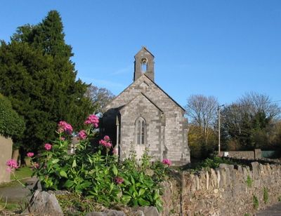
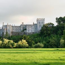
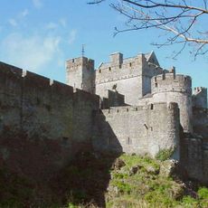
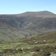
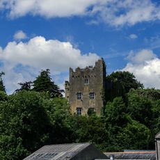
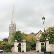
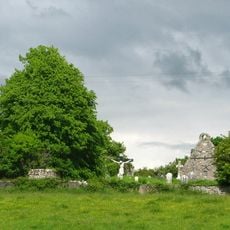
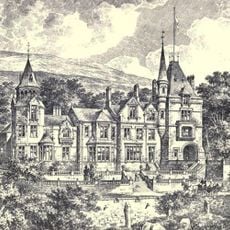
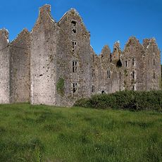
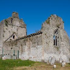
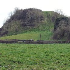
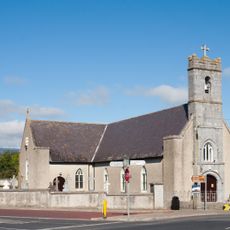
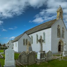
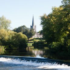
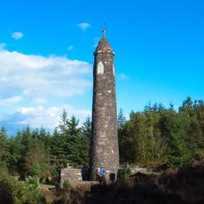
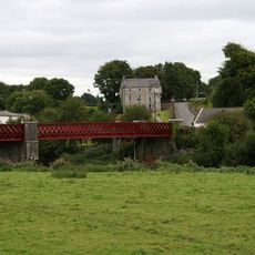
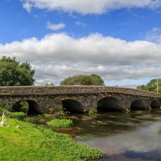
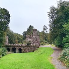
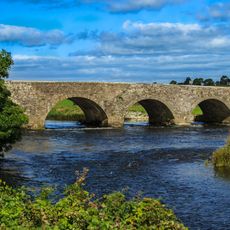
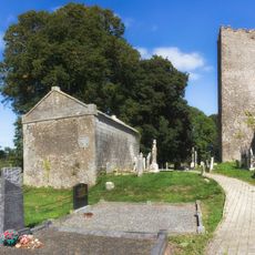
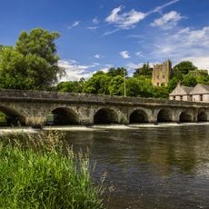
Clogheen, County Tipperary, village in Munster, Ireland
Location: Tipperary South
Elevation above the sea: 54 m
Website: http://clogheen.org
GPS coordinates: 52.27600,-7.99600
Latest update: March 7, 2025 22:16
Lismore Castle
15.7 km
Cahir Castle
11.9 km
Galtymore
16 km
Mount Melleray Abbey
13.6 km
Ballysaggartmore Towers
14.5 km
Swiss Cottage
10.3 km
Knockmealdown
7.6 km
Ardfinnan Castle
8.8 km
Mitchelstown Cave
6.9 km
Lismore Cathedral
15.8 km
Knocklofty House
15.9 km
Shanbally Castle
3.7 km
Tubrid
5.4 km
Sugarloaf Hill
4.9 km
Galtee Castle
13.1 km
Burncourt Castle
6.3 km
Cahir Priory
12.4 km
Knockgraffon Motte and Bailey
15.7 km
Church of Our Lady and St. Kieran, Ballylooby
5.7 km
St Mary's Church
12.6 km
St Paul's Church, Cahir
12.3 km
Liam Lynch Memorial
9.8 km
Ballyduff Bridge
15.1 km
Goat's Bridge
8.5 km
Ballysaggartmore House Bridge
13.9 km
Newcastle Bridge
12.7 km
Cornelius O'Callaghan Mausoleum
1.3 km
Ardfinnan Bridge
8.8 kmVisited this place? Tap the stars to rate it and share your experience / photos with the community! Try now! You can cancel it anytime.
Discover hidden gems everywhere you go!
From secret cafés to breathtaking viewpoints, skip the crowded tourist spots and find places that match your style. Our app makes it easy with voice search, smart filtering, route optimization, and insider tips from travelers worldwide. Download now for the complete mobile experience.
A unique approach to discovering new places❞
— Le Figaro
All the places worth exploring❞
— France Info
A tailor-made excursion in just a few clicks❞
— 20 Minutes