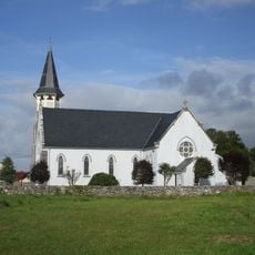
The Burren, Natural limestone region in County Clare, Ireland
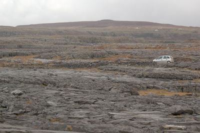
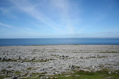
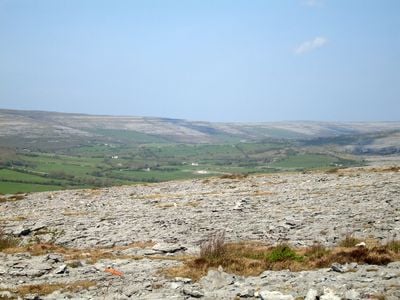
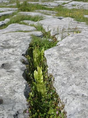
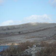
The Burren is a natural region in County Clare that spreads across wide expanses of grey limestone pavement reaching the west coast and the Atlantic shore. The cracks in the rock form a tight network of crevices and shallow hollows where rainwater collects and small plants grow.
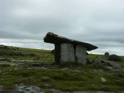
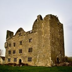
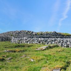
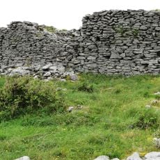
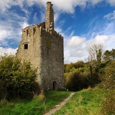
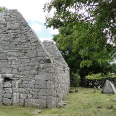
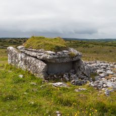
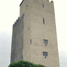
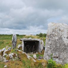
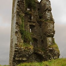
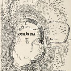
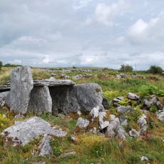
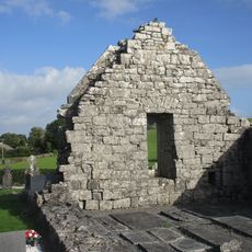
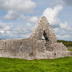
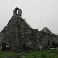
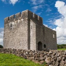
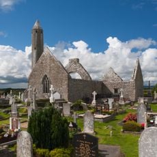
The limestone formed around 320 million years ago in a warm sea, before glaciers shaped the surface during ice ages. People began settling in this area about 6000 years ago, building stone tombs and ringforts.
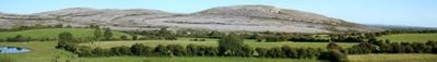
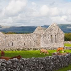
The name comes from the Irish word meaning "stony place", which describes the bare rock slabs covering the ground. Farmers let their cattle graze here in winter because the limestone cracks shelter them from wind and the grass stays green longer.
Marked walking paths cross the limestone terrain and work well for walks in dry weather, since the surface becomes slippery when wet. Sturdy footwear is important because the cracks are uneven and walking on the slabs requires attention.
Plants from Arctic, Alpine and Mediterranean climates grow side by side here because the rock crevices hold different temperatures and moisture levels. Over two thirds of Ireland's native flower species can be found in this relatively small area.
Location: County Clare
GPS coordinates: 53.00778,-9.00222
Latest update: December 4, 2025 23:05
Ireland presents a range of natural landscapes and historic sites spread across the entire country. This collection guides you to coastal cliffs, mountain ranges, medieval castles, and lighthouses that reflect Ireland's history and natural environment. You will explore places like Glendalough Valley with its lakes and early monastic settlements, the steep cliffs of Slieve League, and the island communities of the Aran Islands. The route includes national parks such as Glenveagh and Connemara, where you can walk and experience the raw character of the Irish landscape. Historic sites like Skellig Michael, an early medieval monastic settlement on an island, and the Loughcrew Cairns from the Stone Age reveal stories from different periods. Gardens like Birr Castle and Dereen show how people have shaped this landscape over centuries. From the steep cliffs at Mizen Head in the southwest to the northernmost point at Malin Head, you will find traces of nature and history everywhere. Small coastal towns like Cobh and Carlingford invite you to linger, while walking routes and trails such as the Kilkee Cliff Walk or St. Kevin's Way guide you through the countryside.
Leamaneh Castle
9.5 km
Kilmacduagh monastery
8.9 km
Burren National Park
289 m
Caherconnell Stone Fort
9.9 km
Cahercommaun
4.6 km
Dromore Castle
9.5 km
Temple Cronan
5.8 km
Parknabinnia Wedge Tomb
6.6 km
Ballyportry Castle
6.9 km
Creevagh Tomb
5.5 km
Boston Castle
5.4 km
Cross Inneenboy
8.2 km
Cashlaungar
5.2 km
Wedge Tomb von Creevagh
5.5 km
Glanquin Farmhouse
1.9 km
Kilnaboy Church
7 km
Ruan Church
8.9 km
St. John the Baptist's Church, Kilmacduagh
8.9 km
Clare Heritage Centre
8.1 km
Coad Church
7 km
St Columba's Church
6 km
St Tola's Church
8.9 km
St Brigid's Church
8.1 km
Kilmacduagh Round Tower
8.8 km
O'Loghlen Mausoleum
8.9 km
Kilmacduagh Glebe House
8.9 km
Abbey of St. Mary de Petra, Kilmacduagh
8.9 km
Kilmacduagh Cathedral
8.9 kmVisited this place? Tap the stars to rate it and share your experience / photos with the community! Try now! You can cancel it anytime.
Discover hidden gems everywhere you go!
From secret cafés to breathtaking viewpoints, skip the crowded tourist spots and find places that match your style. Our app makes it easy with voice search, smart filtering, route optimization, and insider tips from travelers worldwide. Download now for the complete mobile experience.
A unique approach to discovering new places❞
— Le Figaro
All the places worth exploring❞
— France Info
A tailor-made excursion in just a few clicks❞
— 20 Minutes