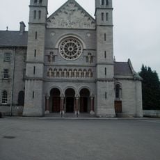
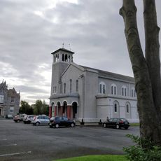
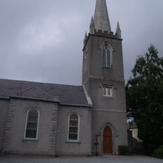
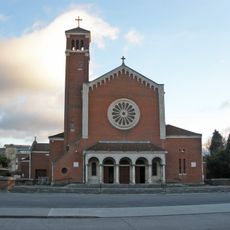
Rathfarnham, Residential district in South Dublin, Ireland
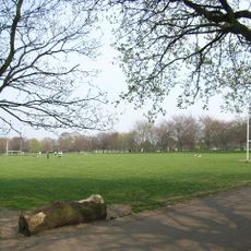
Rathfarnham is a residential district in South Dublin that stretches between the foothills of the Dublin-Wicklow Mountains and the Dodder River. The area features multiple parks, schools, and open spaces connected by a developed road network.
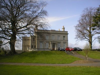
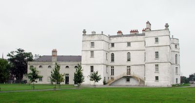
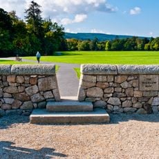
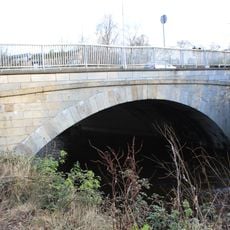
The area was founded in 1199 when Milo le Bret built a fortified settlement overlooking a ford across the River Dodder. This early fortress shaped how the place developed over the centuries.
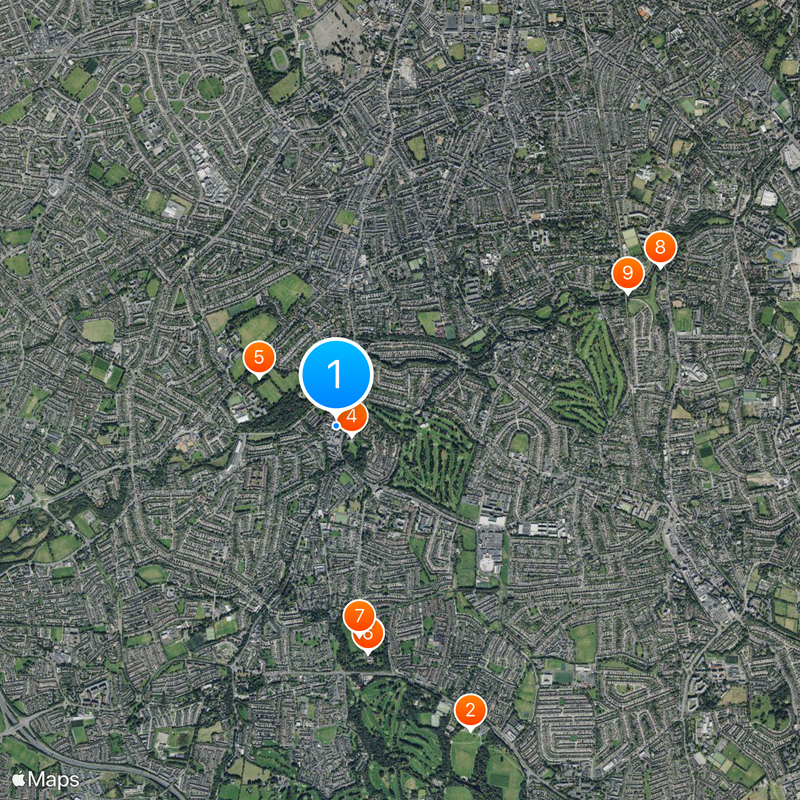
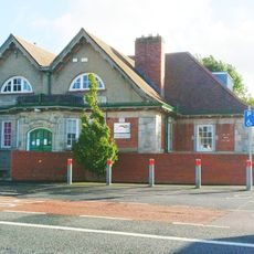
The St. Enda's School under Patrick Pearse's leadership served as a center where education and Irish identity were deeply connected. The school shaped how locals view their neighborhood's role in the nation's story.
The area connects well to central Dublin through several bus routes, making it easy to get around. Visitors should know the terrain is hilly and sturdy footwear is recommended for exploring on foot.
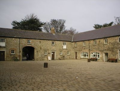
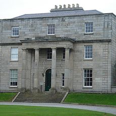
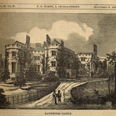
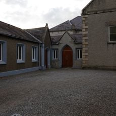
The historic castle features four well-preserved stable courtyards from an earlier era that hold real architectural value. These stable buildings are a rare example of specialized outbuildings and show how estate owners once organized their properties.
Location: South Dublin
Elevation above the sea: 54 m
Website: http://rathfarnham.com
GPS coordinates: 53.29878,-6.28545
Latest update: December 20, 2025 11:48
Marlay Park
2.6 km
St. Enda's School
1.8 km
Rathfarnham Castle
144 m
Bushy Park, Dublin
711 m
Pearse Museum
1.8 km
Saint Enda's Park
1.6 km
Ahlul Bayt Islamic Centre
2.8 km
Nine Arches Bridge
2.5 km
William Dargan Bridge
2.7 km
Palmerston Park, Dublin
2.3 km
Classon's Bridge
2.3 km
Eamonn Ceannt Park
2.8 km
Milltown Bridge
2.8 km
Rathmines Castle
3 km
Victorian Chapel
2.8 km
Court of Petty Sessions (Rathfarnham)
101 m
Church of St. Paul of the Cross, Harold's Cross
2.6 km
Kimmage Manor Parish Church
1.9 km
Pearse Bridge (Rathfarnham)
720 m
Rathfarnham Church of Ireland Parish Church
92 m
St Pius X Church (Templeogue)
1.4 km
Rathfarnham Parish Centre
71 m
Whitechurch Branch Library
2 km
Yellow House Bar and Restaurant
226 m
Church of the Annunciation (Rathfarnham)
304 m
Rathfarnham Meeting House
611 m
Emmet's Fort
1.9 km
Beaufort College Gates
340 mVisited this place? Tap the stars to rate it and share your experience / photos with the community! Try now! You can cancel it anytime.
Discover hidden gems everywhere you go!
From secret cafés to breathtaking viewpoints, skip the crowded tourist spots and find places that match your style. Our app makes it easy with voice search, smart filtering, route optimization, and insider tips from travelers worldwide. Download now for the complete mobile experience.
A unique approach to discovering new places❞
— Le Figaro
All the places worth exploring❞
— France Info
A tailor-made excursion in just a few clicks❞
— 20 Minutes