Dublin Region, Statistical region in eastern Ireland
The Dublin Region comprises four local government areas in eastern Ireland: Dublin City, Dún Laoghaire-Rathdown, Fingal, and South Dublin. Together, these districts form a connected area that extends from coastal zones to rural edges.
The current administrative system emerged in 1994 following the Local Government Act of 1991, which established the boundaries and structure of the four districts. This reorganization followed centuries of growth that made Dublin Ireland's principal city.
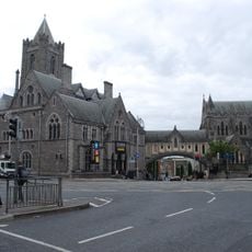
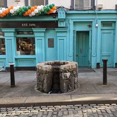
The region represents Ireland's cultural and economic center, where traditional Irish heritage meets contemporary urban life. Visitors experience this blend through historic neighborhoods and modern districts that shape how people live and interact daily.
The region is best explored through its four administrative districts, each with distinct characters. Visitors should expect variation from dense city center to green suburbs and coastal areas, depending on which parts they choose to visit.
The region is classified as a NUTS 3 area, a European designation reflecting its importance for funding and data collection at the international level. This technical classification may be invisible, but it has real effects on how development resources are distributed.
The community of curious travelers
AroundUs brings together thousands of curated places, local tips, and hidden gems, enriched daily by 60,000 contributors worldwide.