
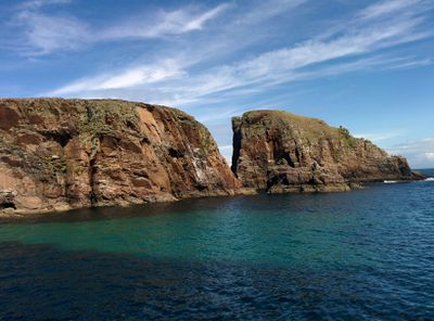
Tory Island Coast, Special Area of Conservation in County Donegal, Ireland
Location: County Donegal
Part of: Tory Island
GPS coordinates: 55.26250,-8.22952
Latest update: March 24, 2025 23:42
Errigal
26.5 km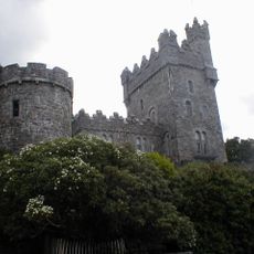
Glenveagh Castle
30.3 km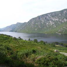
Glenveagh National Park
29.4 km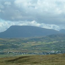
Muckish
23 km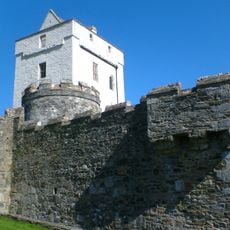
Doe Castle
26.3 km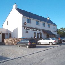
Leo's Tavern
26.3 km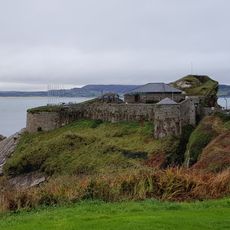
Fort Dunree
43.5 km
Ards Forest Park
23.9 km
Fintown railway station
44.3 km
Aghla More
24.2 km
Amharclann Ghaoth Dobhair
21.8 km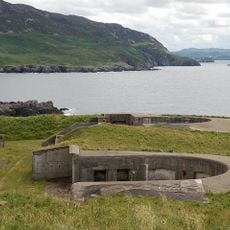
Lenan Head Fort
44.3 km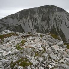
Mackoght
26.2 km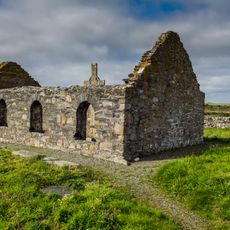
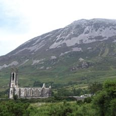
Ray Church
16.3 km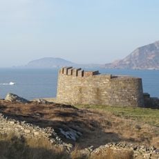
Knockalla Fort
42.6 km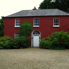
Glebe Gallery
35.9 km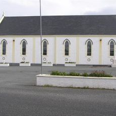
St Columba's Church, Burtonport
33.6 km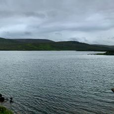
Lough Barra Bog
36 km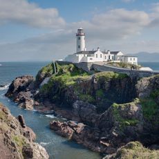
Fanad Head Light
37.9 km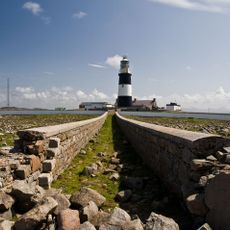
Tory Island Lighthouse
1.7 km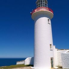
Aranmore Lighthouse
34.7 km
Lacknacoo
34.6 km
Loughsalt Mountain
34.1 km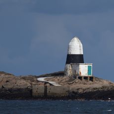
Ballagh Rocks Lighthouse
33.4 km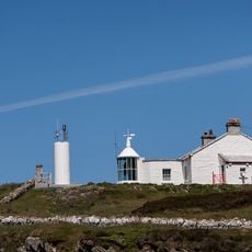
Dunree Head lighthouse
43.5 km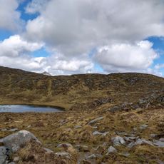
Cloghernagore Bog
31.1 km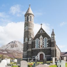
Sacred Heart Church, Dunlewey
26.2 km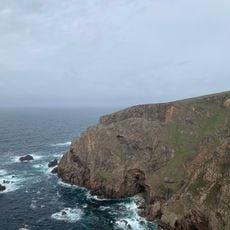
Arranmore Island Cliffs
35.5 kmReviews
Visited this place? Tap the stars to rate it and share your experience / photos with the community! Try now! You can cancel it anytime.
Discover hidden gems everywhere you go!
From secret cafés to breathtaking viewpoints, skip the crowded tourist spots and find places that match your style. Our app makes it easy with voice search, smart filtering, route optimization, and insider tips from travelers worldwide. Download now for the complete mobile experience.

A unique approach to discovering new places❞
— Le Figaro
All the places worth exploring❞
— France Info
A tailor-made excursion in just a few clicks❞
— 20 Minutes