Ballybarrack, Ogham Site, Co. Louth
Location: Leinster
Location: County Louth
Location: Upper Dundalk
Part of: Ogi-Ogham Project, Irish ᚑᚌᚆᚐᚋ Stones in the Wikimedia Universe
GPS coordinates: 53.98278,-6.43833
Latest update: April 17, 2025 03:41
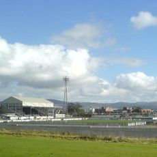
Oriel Park
2.3 km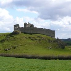
Castle Roche
7.8 km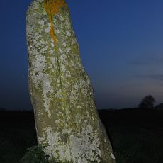
Clochafarmore
2 km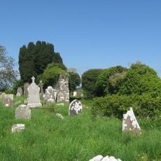
Faughart
7.6 km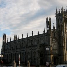
St. Patrick's Church, Dundalk
3.5 km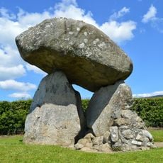
Proleek Dolmen
8.5 km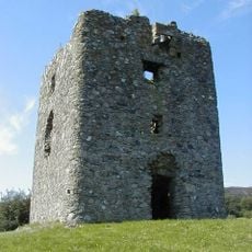
Moyry Castle
10.3 km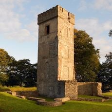
Dún Dealgan Motte
3.5 km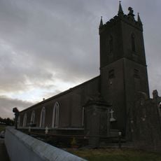
Patrick Kavanagh Centre
9.3 km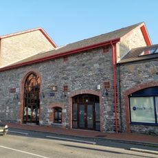
County Museum Dundalk
3.6 km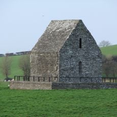
St. Mochta's House
7.7 km
Dundalk Courthouse
3.4 km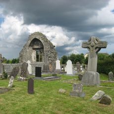
Dromiskin Monastery
7.3 km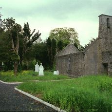
Mansfieldstown Church
9.6 km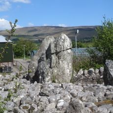
Aghnaskeagh Cairns
10.2 km
Dundalk Upper
3.4 km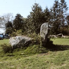
Wedge tomb of Lurgankeel
6.9 km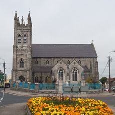
St Nicholas' Church at Nicholas Street, Dundalk
3.8 km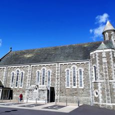
St Oliver Plunkett's Church
5.2 km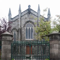
Dundalk Presbyterian Church
3.7 km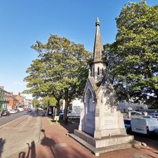
Kelly Monument
3.5 km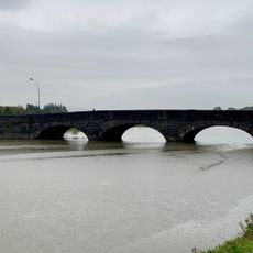
Dundalk Bridge
4 km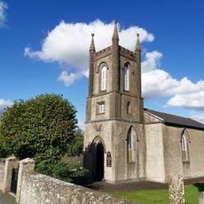
St Paul's Church
3.1 km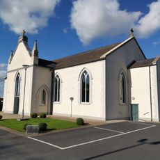
St Fursaeus' Church
3.2 km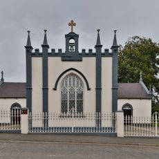
Church of SS Peter & Paul
10.1 km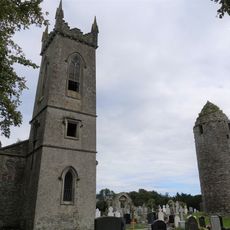
St Ronan's Church
7.2 km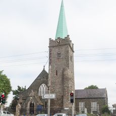
St Nicholas' Church of Ireland, Dundalk
3.7 km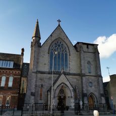
St Malachy's Dominican Church
2.8 kmReviews
Visited this place? Tap the stars to rate it and share your experience / photos with the community! Try now! You can cancel it anytime.
Discover hidden gems everywhere you go!
From secret cafés to breathtaking viewpoints, skip the crowded tourist spots and find places that match your style. Our app makes it easy with voice search, smart filtering, route optimization, and insider tips from travelers worldwide. Download now for the complete mobile experience.

A unique approach to discovering new places❞
— Le Figaro
All the places worth exploring❞
— France Info
A tailor-made excursion in just a few clicks❞
— 20 Minutes