
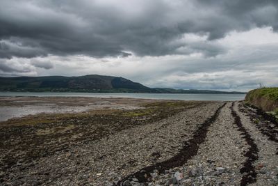
Carlingford Shore, special area of conservation in County Louth, Ireland
Location: County Louth
Part of: Carlingford Lough
GPS coordinates: 54.03400,-6.16300
Latest update: April 10, 2025 17:46
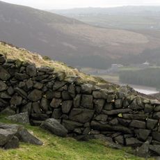
Mourne Wall
15.7 km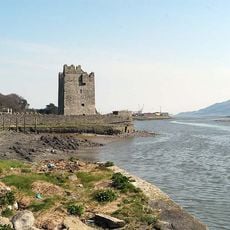
Narrow Water Castle
11.9 km
Cloughmore
7.4 km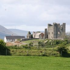
Greencastle
3.9 km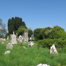
Faughart
14.5 km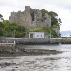
King John's Castle
1.9 km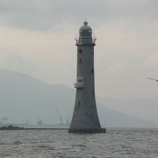
Haulbowline Lighthouse
5.7 km
Clermont Carn
11.5 km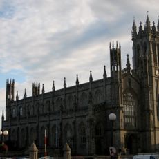
St. Patrick's Church, Dundalk
15.8 km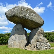
Proleek Dolmen
12.1 km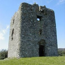
Moyry Castle
15.1 km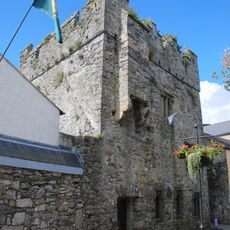
The Mint
1.7 km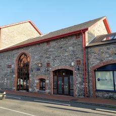
County Museum Dundalk
15.6 km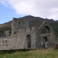
Carlingford Priory
1.5 km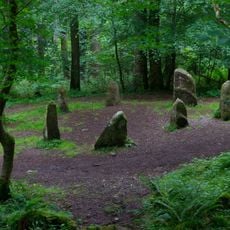
Clermont Cairn
11.5 km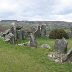
Court Tomb von Clontygora
13.5 km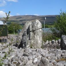
Aghnaskeagh Cairns
13.1 km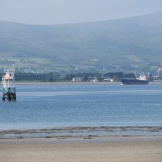
Vidal Bank lighthouse
5.4 km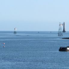
Green Island Leading Light
4.4 km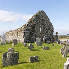
Kilwirra Church
5.4 km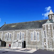
St Oliver Plunkett's Church
15.2 km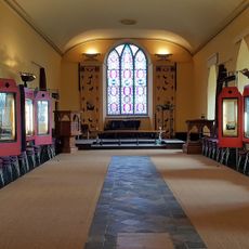
Carlingford Heritage Centre
1.6 km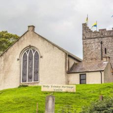
Holy Trinity Heritage Centre
1.6 km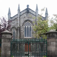
Dundalk Presbyterian Church
15.6 km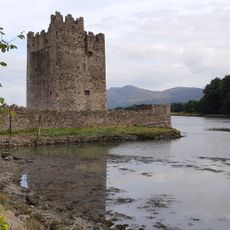
Narrow Water Castle Newry Road Warrenpoint Newry Co Down Bt34 3le
11.9 km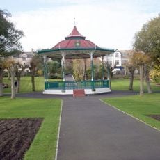
Band Stand In The Town Park Warrenpoint Newry Co Down Bt34 3nz
9.3 km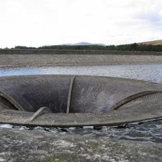
Overflow Pipe Silent Valley Reservoir Head Road Kilkeel Newry Co Down Bt34 4pu
15 km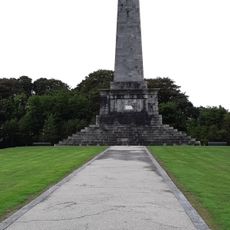
Ross Monument, Warrenpoint Road Rostrevor Co.down
7.9 kmVisited this place? Tap the stars to rate it and share your experience / photos with the community! Try now! You can cancel it anytime.
Discover hidden gems everywhere you go!
From secret cafés to breathtaking viewpoints, skip the crowded tourist spots and find places that match your style. Our app makes it easy with voice search, smart filtering, route optimization, and insider tips from travelers worldwide. Download now for the complete mobile experience.

A unique approach to discovering new places❞
— Le Figaro
All the places worth exploring❞
— France Info
A tailor-made excursion in just a few clicks❞
— 20 Minutes