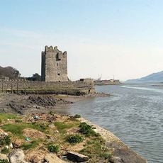
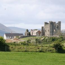
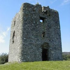
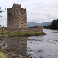
King John's Castle, Medieval castle in Carlingford, Ireland
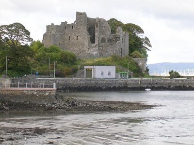
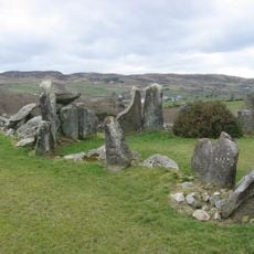
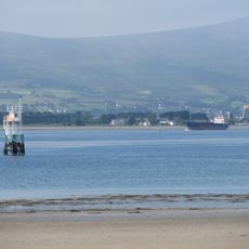
King John's Castle occupies a headland overlooking Carlingford Lough and features thick stone walls in a rectangular layout with a D-shaped tower at one end. The building was designed as a defensive stronghold with limited interior space, focused on control and protection of the waterway.
The fortress was built in the late 12th century during the Norman expansion and was later modified and strengthened over time. It played a key role in controlling the region and witnessed various conflicts in the centuries that followed.
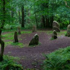
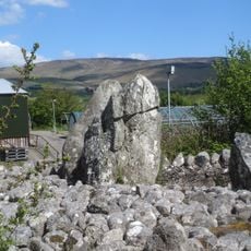
The castle stands as a symbol of Norman rule in Ireland, and its sturdy stone form reflects the military power of the period. Visitors can see how this structure differs from the defensive works built by Irish populations at the same time.
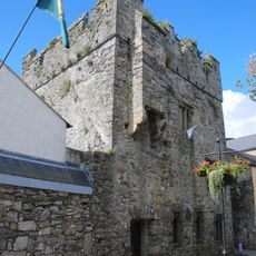
Visiting is best on dry days since access crosses open ground and the ruins offer little shelter from the elements. Wearing sturdy footwear is advisable, and checking weather conditions beforehand helps, especially when strong winds are expected.
In the early 17th century, Irish forces used the castle as a fortified position and later troops sheltered within its walls and occupied the site as a military camp. This second life as a military stronghold shows how medieval structures were reused during later conflicts.
The community of curious travelers
AroundUs brings together thousands of curated places, local tips, and hidden gems, enriched daily by 60,000 contributors worldwide.