Enable Location

We need your location to show you interesting places around you

Discover nearby places

Find interesting locations and hidden gems around you

Precise directions

Get accurate directions and distances to places

Your location is never shared with other users. It's only used when you tap the location button.

Carlingford

Log in to your account

Start exploring — it's free

Trusted by 61,345 travelers worldwide

Continue with Google
Continue with Apple
or

We will send you a code to connect

By continuing, you accept our Terms and Conditions and our Privacy Policy

Check your inbox

We've sent a pincode in your inbox. Please enter the code below.

Carlingford, Medieval coastal town in County Louth, Ireland.

Description

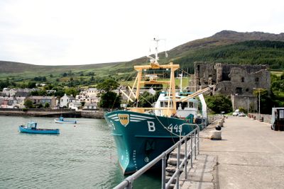
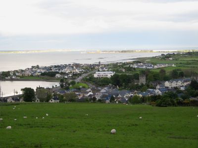
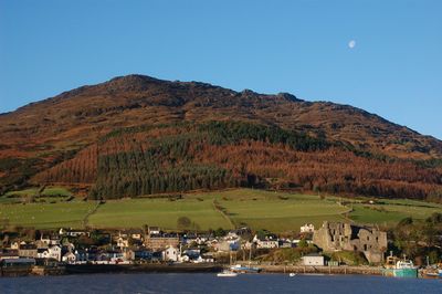
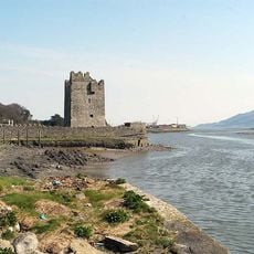
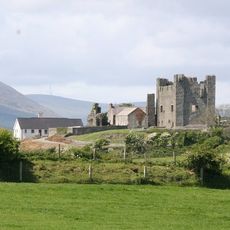
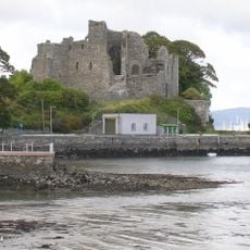
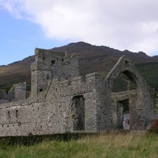
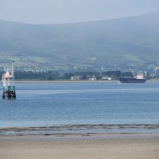
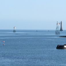
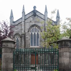
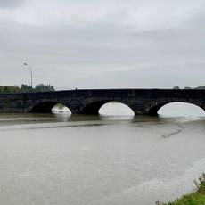
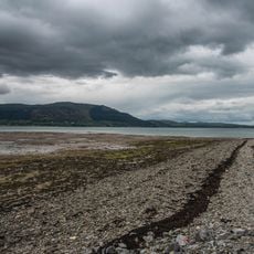
Carlingford is a coastal town on the southern shore of Carlingford Lough, with Slieve Foy Mountain rising behind its narrow lanes and old buildings. The settlement is shaped by medieval stone structures and an active harbor where fishing boats and small vessels line the waterfront.

History

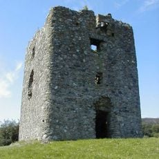
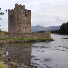
The town developed after Norman knight Hugh de Lacy arrived in the 12th century, leading to the construction of King John's Castle during the ruler's 1210 visit. These early fortifications demonstrate how strategically important the place became for English control in Ireland.

Culture

The oyster festival celebrated here each year reflects how fishing shaped the community's identity and remains central to local life. You can see this heritage in the working harbor and among the fishermen who continue these traditions today.

Practical

The town has regular bus connections on weekdays, and the harbor provides year-round access for water activities and fishing. Walking through the narrow streets works best when the weather is fair, and the combination of water and mountain views makes orientation easier.

Did you know?

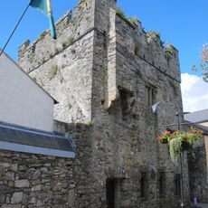
On Tholsel Street stands the last remaining gate of the medieval town walls, which served as both an entrance and a functioning prison. This structure tells the story of how fortification gates had dual purposes in walled medieval settlements.

Location
Elevation above the sea
1 m
GPS coordinates
54.04294,-6.18609
Latest update
December 6, 2025 16:01

AroundUs brings together thousands of curated places, local tips, and hidden gems, enriched daily by 60,000 contributors worldwide. Discover all places nearby (County Louth).

Natural landscapes and historic sites in Ireland

Ireland presents a range of natural landscapes and historic sites spread across the entire country. This collection guides you to coastal cliffs, mountain ranges, medieval castles, and lighthouses that reflect Ireland's history and natural environment. You will explore places like Glendalough Valley...

« Carlingford - Medieval coastal town in County Louth, Ireland » is provided by Around Us (aroundus.com). Images and texts are derived from Wikimedia project under a Creative Commons license. You are allowed to copy, distribute, and modify copies of this page, under the conditions set by the license, as long as this note is clearly visible.

Discover hidden gems everywhere you go!

From secret cafés to breathtaking viewpoints, skip the crowded tourist spots and find places that match your style. Our app makes it easy with voice search, smart filtering, route optimization, and insider tips from travelers worldwide. Download now for the complete mobile experience.

Around Us App Screenshot

A unique approach to discovering new places

Le Figaro

All the places worth exploring

France Info

A tailor-made excursion in just a few clicks

20 Minutes

Around Us
Travel Guide & Maps
Download

Send to your phone

QR Code
1

Open the camera app on your mobile.

2

Point at the QR code with your camera. A notification will appear.

3

Tap the notification to open the link.