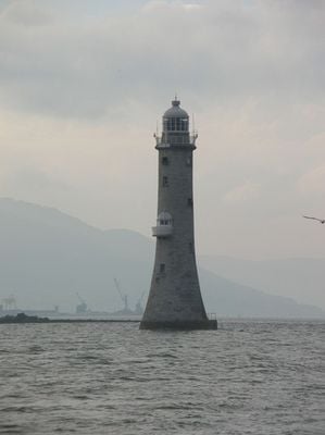
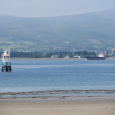
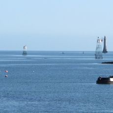
Haulbowline Lighthouse, Stone lighthouse at Carlingford Lough entrance, Northern Ireland
Haulbowline Lighthouse is a roughly 34-meter-high tapered stone structure positioned on a semi-submerged rock at the entrance to Carlingford Lough. The tower sits isolated in the water and marks dangerous navigation hazards that ships need to avoid when entering or leaving the waterway.
Construction began in 1824 after merchants from Newry requested the building to replace an older lighthouse that no longer provided adequate guidance for ships. The previous structure at Cranfield Point eventually collapsed from coastal erosion.
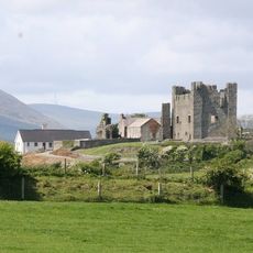
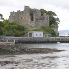
The lighthouse has long been a marker for seafarers navigating these waters and shaped how locals view their coastal identity. It remains a visual anchor that connects the area to its maritime heritage and reminds visitors of the region's dependence on the sea.
The lighthouse sends out three white flashes every ten seconds and can be seen from about 10 nautical miles away, making it clearly visible to ships in the area. Since 2011 it has operated fully remotely without a permanent crew living on-site, so visitors should plan accordingly for viewing from the mainland.
In 1965, this lighthouse became one of the first major offshore lighthouses in Ireland to use remote monitoring and automated electrical controls. This early technology allowed the structure to operate without constant staff presence, which was cutting-edge for that era.
The community of curious travelers
AroundUs brings together thousands of curated places, local tips, and hidden gems, enriched daily by 60,000 contributors worldwide.