
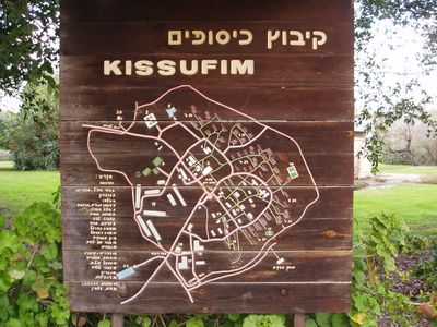
Kissufim, human settlement
Location: Eshkol Regional Council
Inception: 1950
Elevation above the sea: 88 m
Website: http://kissufim.org.il
GPS coordinates: 31.37417,34.39944
Latest update: March 25, 2025 01:17
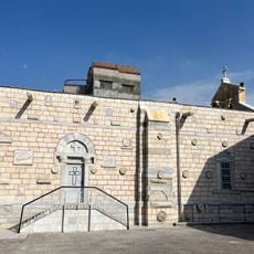
Church of Saint Porphyrius
15.6 km
Al Jalaa Tower
16.4 km
Gaza synagogue
16.6 km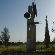
Tzohar
15.6 km
Eshkol National Park
11.3 km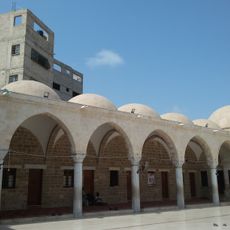
Sayed al-Hashim Mosque
16.1 km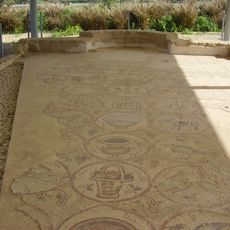
Maon Synagogue
4.4 km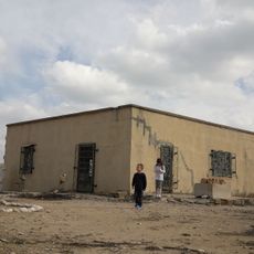
Bait HaLavan
5.4 km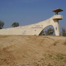
ANZAC Memorial
10.2 km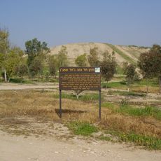
Tell Jemmeh
4.6 km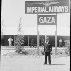
RAF Gaza
14.8 km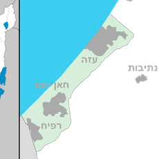
Qizan an-Najjar
12.1 km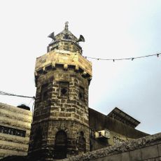
Ibn Marwan Mosque
15.9 km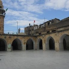
Ibn Uthman Mosque
15.5 km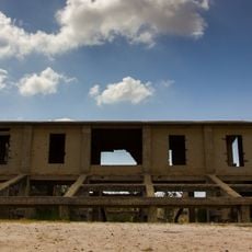
Sulfur Quarry of Be'eri
7.7 km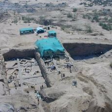
Tell es-Sakan
15.7 km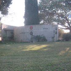
Monument to the Fallen of the 46th Armoured Battalion
10.9 km
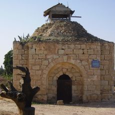
Sheikh Nuran Grave
8.5 km
בארות בנגב
13.5 km
אנדרטת חללי שועוט
12.2 km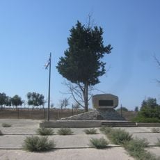
Beeri IDF Temporary Military Cemetery Monument
11 km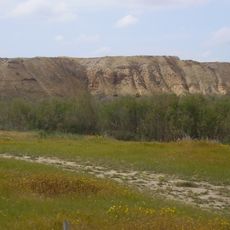
Tell el-Farah
13 km
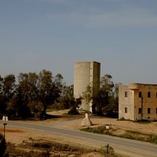
Be'eri Water Tower
10.3 km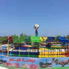
شارم بارك
11.8 km
Old beeri
8.9 km
الشليهات
16.1 kmReviews
Visited this place? Tap the stars to rate it and share your experience / photos with the community! Try now! You can cancel it anytime.
Discover hidden gems everywhere you go!
From secret cafés to breathtaking viewpoints, skip the crowded tourist spots and find places that match your style. Our app makes it easy with voice search, smart filtering, route optimization, and insider tips from travelers worldwide. Download now for the complete mobile experience.

A unique approach to discovering new places❞
— Le Figaro
All the places worth exploring❞
— France Info
A tailor-made excursion in just a few clicks❞
— 20 Minutes