Beit Hanina, village council in Jerusalem Governorate
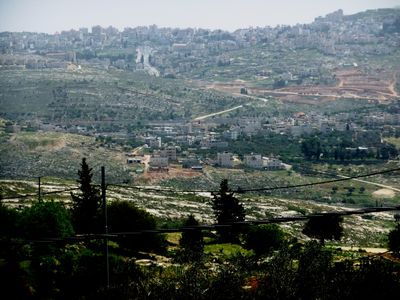
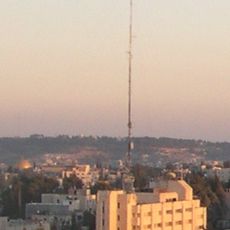
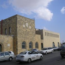
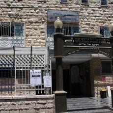
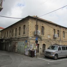
Beit Hanina is a neighborhood in East Jerusalem divided into two distinct areas: the older section called Balad and the newer area called Jadid, situated on a high hill about eight kilometers north of central Jerusalem. Stone houses and narrow streets define the older part, while the newer section features wider roads and contemporary structures, with the whole neighborhood sitting on the road toward Ramallah.
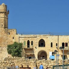
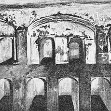
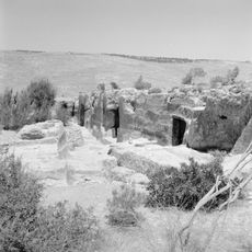
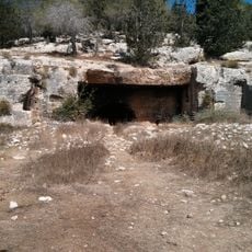
The neighborhood may have been the biblical Ananiah belonging to the Tribe of Benjamin and was conquered by Muslim armies in 636, after which agriculture became central to life there. Crusaders later occupied it, but Salah ad-Din retook the area and brought Bedouin settlers who built mosques and structures that survive today, while Ottoman tax records from the 1500s document ongoing settlement and farming.
Beit Hanina means 'House of Hanina' and may refer to a person or woman from centuries past whose identity remains somewhat mysterious. The name has remained nearly unchanged through time, reflecting how the community has maintained its connection to this place across generations.
The neighborhood is easily accessible as it sits on the main road toward Ramallah with the Jerusalem Light Rail stopping here, making travel to the center and other parts of the city straightforward. Beit Hanina Road serves as the main thoroughfare with regular vehicle and bus traffic connecting the area to central Jerusalem.
In 2013 archaeologists found remains of a wide Roman road made from large flat stones that had been used thousands of years ago during the Roman period, its surface polished smooth by countless travelers. This discovery shows that the area served as an important passage route since ancient times, connecting distant parts of the empire.
The community of curious travelers
AroundUs brings together thousands of curated places, local tips, and hidden gems, enriched daily by 60,000 contributors worldwide.