
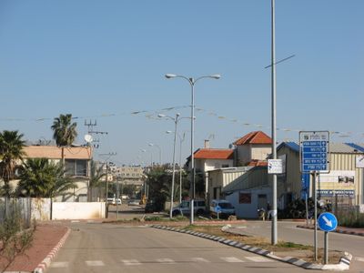
Jaljulia, human settlement in Israel
Location: Central District
Elevation above the sea: 43 m
GPS coordinates: 32.15353,34.95180
Latest update: April 15, 2025 20:30
Qesem Cave
5.5 km
Neve Yarak
3.5 km
Adanim
4.4 km
Hagor
1.7 km
Tsofit
5.3 km
Sdei Hemed
1.1 km
Magdiel
4.7 km
Elishama
2.2 km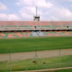
Levita Stadium
3.9 km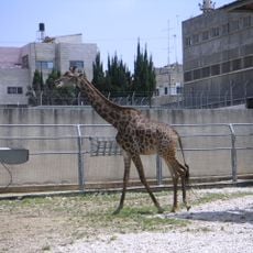
Qalqilya Zoo
5 km
פארק כפר סבא
3.9 km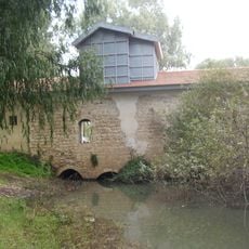
Abu-Rabakh Watermill
6 km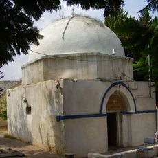
Tomb of Benjamin
2.9 km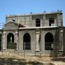
The Concrete House
5.3 km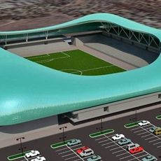
Kfar Qassem Football Stadium
3.4 km
Kfar Saba Town Hall (Khan)
4.4 km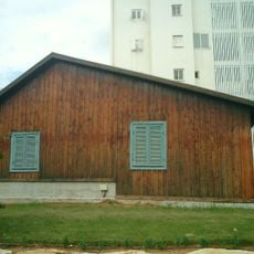
Hod Hasharon museum
4.7 km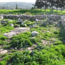
Izbet Sartah
5.6 km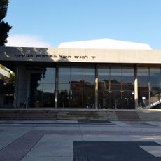
Kfar Saba Cultural Center
5.1 km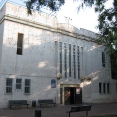
Magdiel Central Synagogue
4.7 km
Kfar-Saba Museum
5.1 km
Petting Zoo
3.9 km
קאנטרי אורנית
5.3 km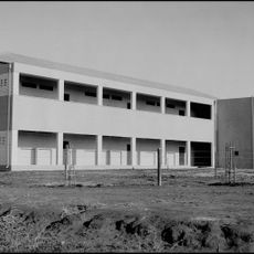
Ussishkin School (Kfar Saba, Israel)
4.6 km
Rās aţ Ţīrah
5.6 km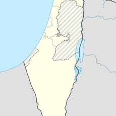
Al-Mudawwar
5.8 km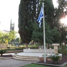
Kfar Saba Military Cemetery
4.1 km
Aḑ Ḑab‘ah
5.5 kmReviews
Visited this place? Tap the stars to rate it and share your experience / photos with the community! Try now! You can cancel it anytime.
Discover hidden gems everywhere you go!
From secret cafés to breathtaking viewpoints, skip the crowded tourist spots and find places that match your style. Our app makes it easy with voice search, smart filtering, route optimization, and insider tips from travelers worldwide. Download now for the complete mobile experience.

A unique approach to discovering new places❞
— Le Figaro
All the places worth exploring❞
— France Info
A tailor-made excursion in just a few clicks❞
— 20 Minutes