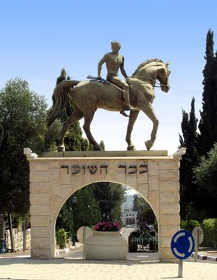
Kfar Tavor, village in Israel
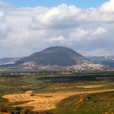
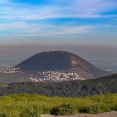
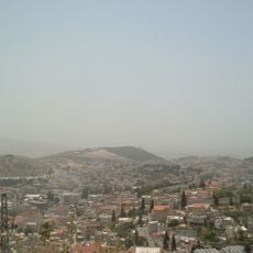
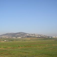
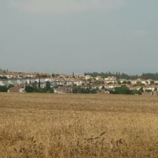
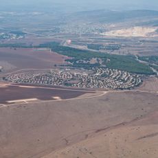
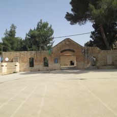
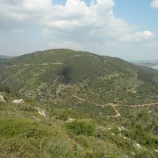
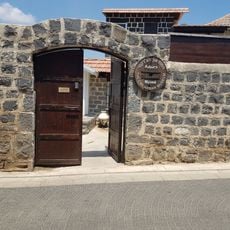
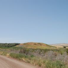
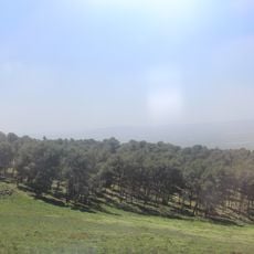
Kfar Tavor is a small village in northern Israel in the Lower Galilee region, situated at the foot of Mount Tabor. The settlement consists of modest houses and farmland that spreads across the surroundings, forming the rural character of the place.
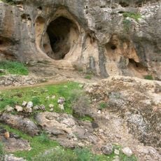
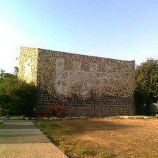
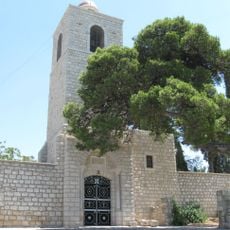
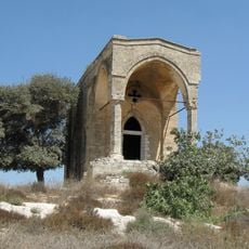
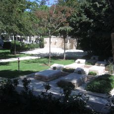
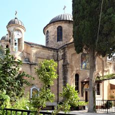
The area was first settled in Byzantine times, with archaeological finds providing evidence of ancient habitation. In 1901, European farmers founded the present village of Kfar Tavor and developed it into a wine-producing center.
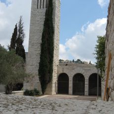
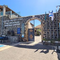
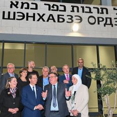
The name Kfar Tavor means Tabor village in Hebrew, honoring the nearby mount that shapes the landscape. Residents maintain their connection to the land through vineyards and craft workshops that show visitors how daily life and work are organized around farming traditions.
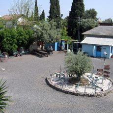
The village is easy to explore on foot and most attractions are located close together, making for a relaxed visit. It is advisable to arrive in the morning since many local museums and farm shops close in the early afternoon.
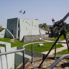
The village was the birthplace of Yigal Allon, a major general in the Israeli army who later became a prominent politician with significant influence on the country's history. His connection to this place makes it particularly valuable for those interested in Israeli history.
The community of curious travelers
AroundUs brings together thousands of curated places, local tips, and hidden gems, enriched daily by 60,000 contributors worldwide.