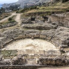
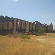
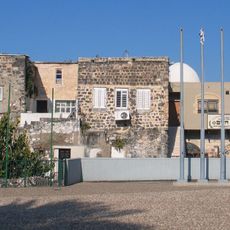
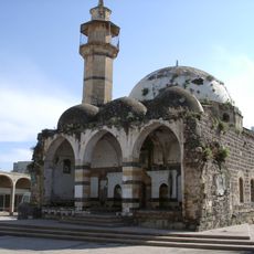
Kinneret sub-district, sub-district
Location: Northern District
Shares border with: Golan Subdistrict, Safed Subdistrict
GPS coordinates: 32.78972,35.52472
Latest update: March 5, 2025 23:11
Horns of Hattin
6.2 km
Mount Arbel
4.2 km
Tomb of Maimonides
1.2 km
Migdal Synagogue
4.2 km
Hamat Tiberias
3.6 km
Scots Hotel
1.6 km
Arbel synagogue
4.7 km
Villa Melchett
4.9 km
Mary Magdalene Metochion
2 km
Poria – Neve Oved
5.2 km
Bet Yigʼal Alon
6.1 km
Mount Berenice
2.1 km
Elizabeth Hotel (Tiberias)
1.1 km
Roman Theater in Tiberias
2.6 km
Poria Farm
6.2 km
Etz Hachayim Synagogue
1.7 km
Zidani mosque
1.6 km
Hassidei Karlin Synagogue
1.7 km
Sea Mosque (Tiberias)
1.8 km
Yigal Allon Centre
6.1 km
Maimonides Heritage Center
1.2 km
Alumot house Tiberias
1.1 km
Saraya Building (Tiberias)
1.5 km
Beit HaRishonim, Migdal
5.8 km
The house of Dona Gracia museum
1.3 km
Tiberias Open Air Museum
1.6 km
Tiberias Military Cemetery
1.9 km
Memorial to the fallen people of Tiberias
1.7 kmReviews
Visited this place? Tap the stars to rate it and share your experience / photos with the community! Try now! You can cancel it anytime.
Discover hidden gems everywhere you go!
From secret cafés to breathtaking viewpoints, skip the crowded tourist spots and find places that match your style. Our app makes it easy with voice search, smart filtering, route optimization, and insider tips from travelers worldwide. Download now for the complete mobile experience.
A unique approach to discovering new places❞
— Le Figaro
All the places worth exploring❞
— France Info
A tailor-made excursion in just a few clicks❞
— 20 Minutes