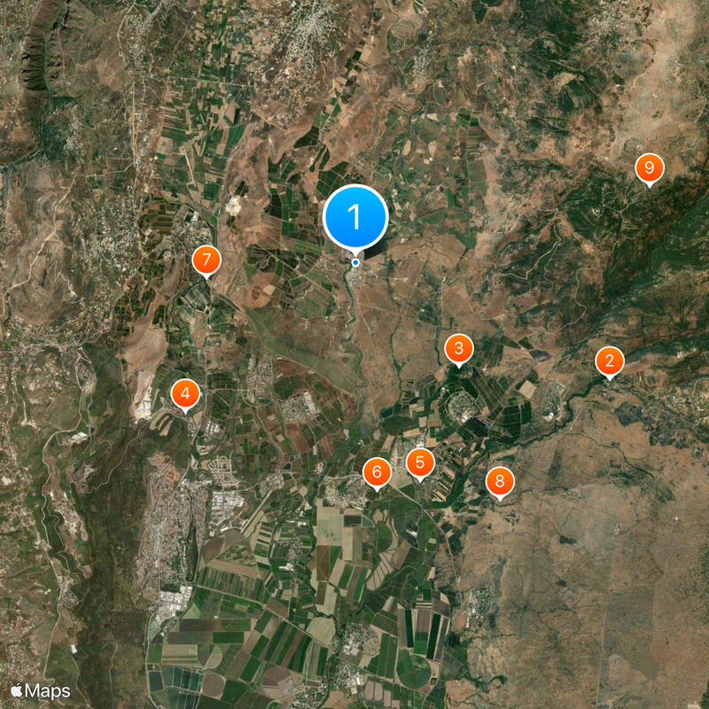
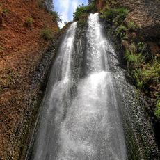
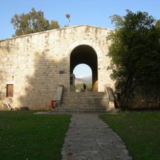
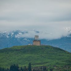
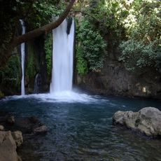
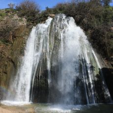
Ghajar, Border village near Mount Hermon, Lebanon
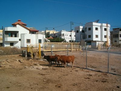
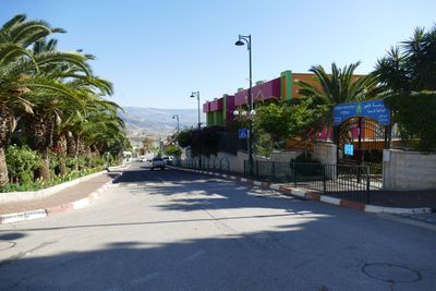
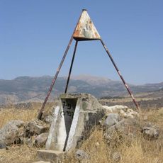
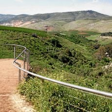
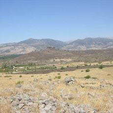
Ghajar is a village situated on a plateau at approximately 310 meters elevation, positioned along the Blue Line between Lebanese and Israeli-controlled territory. The settlement sits where this geopolitical boundary divides the landscape.
The settlement was originally called Taranjeh and changed its name during the Ottoman period when land ownership shifted from original inhabitants to Kurdish settlers. This transition marked a shift in the community's composition.
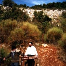
The residents practice Alawite religious traditions that blend elements from Shia Islam, Neoplatonism, and local customs. These traditions shape daily life and community practices in visible ways.
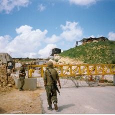
Since September 2022, visitors can enter without special permits, marking an end to restrictions that had designated the area as a military zone for 22 years. This improved access makes the village easier to reach than it was before.
The community administration operates under multiple jurisdictions simultaneously because the village sits at the intersection of Lebanese, Syrian, and Israeli territory. This unusual situation makes it one of the region's most administratively complex places.
The community of curious travelers
AroundUs brings together thousands of curated places, local tips, and hidden gems, enriched daily by 60,000 contributors worldwide.