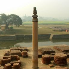
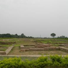
Muzaffarpur district, Administrative district in Tirhut division, India
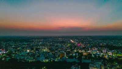
Muzaffarpur district is an administrative division within the Tirhut region of Bihar state, comprising a broad landscape of rural villages and urban centers connected by roads and rail. The area contains numerous settlements and markets that form the backbone of local commerce and everyday life.
The district was created in 1875 during British colonial rule when the original Tirhut territory was divided, and it took its name from administrator Muzaffar Khan. This administrative reorganization shaped the region's governance structure for generations to come.
Traditional markets here showcase local artisans creating Lahti bangles through intricate glass and metal decoration techniques that reflect regional craftsmanship. This handmade tradition remains central to how communities express their identity and skills.
The area connects well to major Indian cities through national highways and has a railway station serving many daily train connections. Visitors can use multiple transport options to explore the region or travel onward.
The region is known worldwide for its geographically designated lychee production, with local farmers growing a prized variety. These fruits have earned a strong reputation on Indian and international markets for their distinctive flavor and quality.
The community of curious travelers
AroundUs brings together thousands of curated places, local tips, and hidden gems, enriched daily by 60,000 contributors worldwide.