Enable Location

We need your location to show you interesting places around you

Discover nearby places

Find interesting locations and hidden gems around you

Precise directions

Get accurate directions and distances to places

Your location is never shared with other users. It's only used when you tap the location button.

Indore district

Log in to your account

Start exploring — it's free

Trusted by 62,838 travelers worldwide

Continue with Google
Continue with Apple
or

We will send you a code to connect

By continuing, you accept our Terms and Conditions and our Privacy Policy

Check your inbox

We've sent a pincode in your inbox. Please enter the code below.

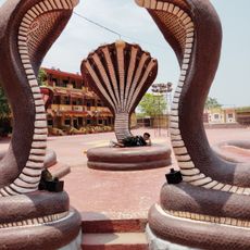
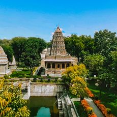
Indore district, Administrative district in Madhya Pradesh, India.

Indore district is an administrative division in central India that stretches across fertile plains with the city of Indore at its center. The area blends agricultural land with urban development and commercial zones.

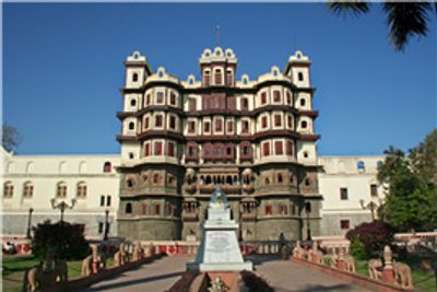
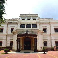
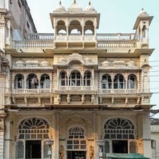
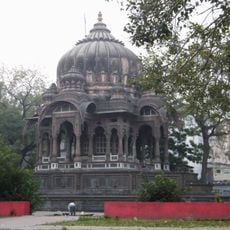
This area grew from the former Indore State, ruled by the Maratha Holkar dynasty until it became part of Madhya Pradesh in 1948. This shift ended princely rule and brought the region into India's modern administrative system.

Hindi is the main language spoken here, while Marathi and local dialects are part of everyday conversation. This mix of languages shapes how communities interact and pass down their traditions.

The district is well connected by highways, railways, and an international airport that links to major cities across India. Getting around and traveling to different parts of the area is relatively straightforward.

The district contains numerous educational institutions, industrial parks, and business centers that function as the economic hub of the region. This concentration of facilities and commerce has made it a major center for trade and learning.

The community of curious travelers

AroundUs brings together thousands of curated places, local tips, and hidden gems, enriched daily by 60,000 contributors worldwide.

Start exploring
Location
Capital city
Indore
Shares border with
Ujjain district
GPS coordinates
22.66667,75.75000
Latest update
December 20, 2025 14:52
« Indore district - Administrative district in Madhya Pradesh, India » is provided by Around Us (aroundus.com). Images and texts are derived from Wikimedia project under a Creative Commons license. You are allowed to copy, distribute, and modify copies of this page, under the conditions set by the license, as long as this note is clearly visible.

Discover hidden gems everywhere you go!

From secret cafés to breathtaking viewpoints, skip the crowded tourist spots and find places that match your style. Our app makes it easy with voice search, smart filtering, route optimization, and insider tips from travelers worldwide. Download now for the complete mobile experience.

Around Us App Screenshot

A unique approach to discovering new places

Le Figaro

All the places worth exploring

France Info

A tailor-made excursion in just a few clicks

20 Minutes

Around Us
Travel Guide & Maps
Download

Send to your phone

QR Code
1

Open the camera app on your mobile.

2

Point at the QR code with your camera. A notification will appear.

3

Tap the notification to open the link.