Enable Location

We need your location to show you interesting places around you

Discover nearby places

Find interesting locations and hidden gems around you

Precise directions

Get accurate directions and distances to places

Your location is never shared with other users. It's only used when you tap the location button.

Gorakhpur district

Log in to your account

Start exploring — it's free

Trusted by 63,516 travelers worldwide

Continue with Google
Continue with Apple
or

We will send you a code to connect

By continuing, you accept our Terms and Conditions and our Privacy Policy

Check your inbox

We've sent a pincode in your inbox. Please enter the code below.

Gorakhpur district
Discussion Reviews 1 Photos
47k Popularity

Gorakhpur district, Administrative district in Gorakhpur division, India

Gorakhpur district is an administrative division in Gorakhpur region, stretching across a large territory with the Rapti River flowing through its land. The district's borders run alongside Sant Kabir Nagar, Kushinagar, Deoria, Maharajganj, and Azamgarh.

The district passed from Nawab rule to British East India Company control in 1801, marking a shift in governance. Mr. Routledge became the first district collector, establishing the foundation of a new administrative system.

The district speaks in layers, with Hindi as the official language while Bhojpuri flows through daily conversations and community life. This linguistic blend shapes how people communicate and connect with one another across villages and towns.

The district is well connected by rail through Gorakhpur Junction, a major railway hub that links to urban centers across northern India. These train connections make arriving and leaving the region straightforward for most travelers.

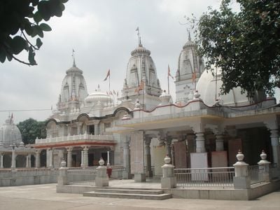
The district is home to Geeta Press, one of the world's largest publishers of Hindu religious texts. This publishing work remains a quiet but profound influence on spiritual and intellectual life far beyond the region's borders.

The community of curious travelers

AroundUs brings together thousands of curated places, local tips, and hidden gems, enriched daily by 60,000 contributors worldwide.

Start exploring
Capital city
Gorakhpur
Shares border with
Siddharthnagar district, Mau district, Azamgarh district, Sant Kabir Nagar district
GPS coordinates
26.75500,83.37390
Latest update
December 14, 2025 19:39
Reviews
Share your experience

No review yet

Discussions
Start a discussion...

No discussion yet

« Gorakhpur district - Administrative district in Gorakhpur division, India » is provided by Around Us (aroundus.com). Images and texts are derived from Wikimedia project under a Creative Commons license. You are allowed to copy, distribute, and modify copies of this page, under the conditions set by the license, as long as this note is clearly visible.

Discover hidden gems everywhere you go!

From secret cafés to breathtaking viewpoints, skip the crowded tourist spots and find places that match your style. Our app makes it easy with voice search, smart filtering, route optimization, and insider tips from travelers worldwide. Download now for the complete mobile experience.

Around Us App Screenshot

A unique approach to discovering new places

Le Figaro

All the places worth exploring

France Info

A tailor-made excursion in just a few clicks

20 Minutes

Around Us
Travel Guide & Maps
Download

Send to your phone

QR Code
1

Open the camera app on your mobile.

2

Point at the QR code with your camera. A notification will appear.

3

Tap the notification to open the link.