Koppal district, Administrative district in Kalaburagi division, India
Koppal district is an administrative area in the Kalaburagi region with extensive agricultural lands, historical structures, and seven smaller administrative units called talukas. The area contains different landscapes and settlements connected by a road network.
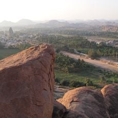
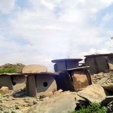
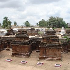
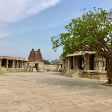
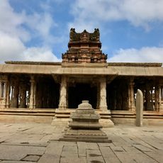
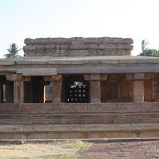
The territory was an important center under ancient Maurya and Chalukya dynasties, as shown by archaeological sites and old inscriptions at places like Palkigundu and Gavimatha. These remains document early settlement and regional development over centuries.
The town of Kinhal keeps traditional lacquerware craft alive, with artisans creating intricate patterns using methods passed down through generations. This craft remains visible in daily life and attracts visitors interested in learning about regional skills.
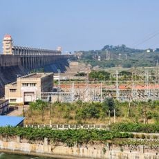
The area connects to other major cities in Karnataka through a well-developed road network, with buses and other vehicles operating between different talukas and neighboring regions. Travelers should expect varying conditions depending on the season and consider local transportation options when planning.
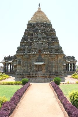
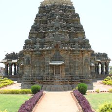
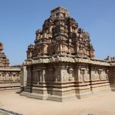
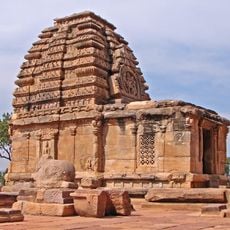
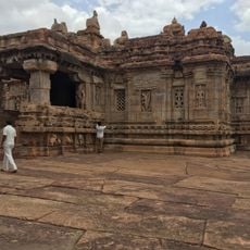
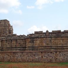
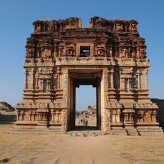
The Mahadeva Temple at Itagi dates from the 11th century and displays a blend of South Indian and Dravida architecture recognized by historians as particularly significant. The temple stands out for its crafted details and artistic design that visitors notice while exploring the structure.
The community of curious travelers
AroundUs brings together thousands of curated places, local tips, and hidden gems, enriched daily by 60,000 contributors worldwide.