Enable Location

We need your location to show you interesting places around you

Discover nearby places

Find interesting locations and hidden gems around you

Precise directions

Get accurate directions and distances to places

Your location is never shared with other users. It's only used when you tap the location button.

Log in to your account

Start exploring — it's free

Trusted by 63,525 travelers worldwide

Continue with Google
Continue with Apple
or

We will send you a code to connect

By continuing, you accept our Terms and Conditions and our Privacy Policy

Check your inbox

We've sent a pincode in your inbox. Please enter the code below.

Discussion Reviews Photo
24.7k Popularity

Wardha district, Administrative district in eastern Maharashtra, India

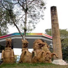
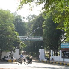
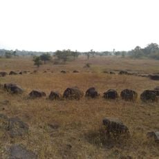
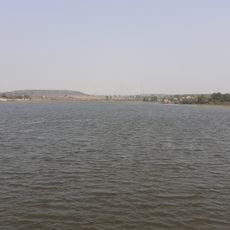
Wardha is an administrative district in eastern Maharashtra characterized by flat landscapes where cotton and other crops cover the land. The main city serves as the district headquarters with educational institutions and government offices scattered throughout the area.

The district was established as a separate administrative unit in 1862 during British rule, when the colonial administration reorganized territorial boundaries. This restructuring shaped how the region developed and which cities grew into administrative centers.

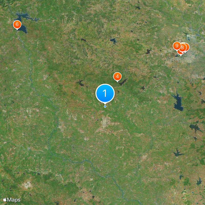
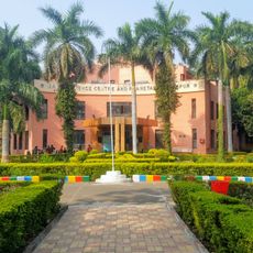
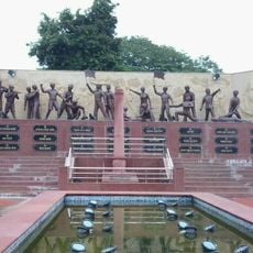
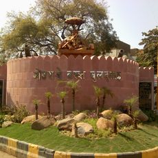
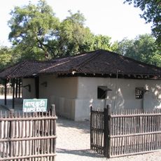
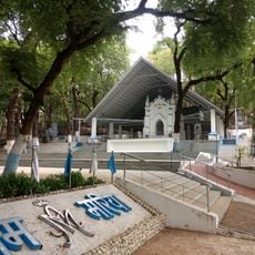
The region holds deep connections to India's independence movement, with Mahatma Gandhi establishing his ashram here and leading important gatherings. Visitors can see the places where this history remains visible in the daily life of communities.

The district connects easily to larger cities through rail and road networks, making travel between rural and urban areas straightforward. The best time to visit is from October through February when the weather is comfortable and agricultural activities are visible across the fields.

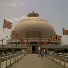
The area served as a hub for the Khadi movement, promoting hand-spun cloth as part of India's independence campaign and economic self-reliance. Small weaving workshops and training centers operated here and remain connected to the region's identity.

The community of curious travelers

AroundUs brings together thousands of curated places, local tips, and hidden gems, enriched daily by 60,000 contributors worldwide.

Start exploring
Location
Capital city
Wardha
Shares border with
Nagpur district, Chandrapur district
GPS coordinates
20.83333,78.60000
Latest update
December 20, 2025 12:12
Reviews
Share your experience

No review yet

Discussions
Start a discussion...

No discussion yet

« Wardha district - Administrative district in eastern Maharashtra, India » is provided by Around Us (aroundus.com). Images and texts are derived from Wikimedia project under a Creative Commons license. You are allowed to copy, distribute, and modify copies of this page, under the conditions set by the license, as long as this note is clearly visible.

Discover hidden gems everywhere you go!

From secret cafés to breathtaking viewpoints, skip the crowded tourist spots and find places that match your style. Our app makes it easy with voice search, smart filtering, route optimization, and insider tips from travelers worldwide. Download now for the complete mobile experience.

Around Us App Screenshot

A unique approach to discovering new places

Le Figaro

All the places worth exploring

France Info

A tailor-made excursion in just a few clicks

20 Minutes

Around Us
Travel Guide & Maps
Download

Send to your phone

QR Code
1

Open the camera app on your mobile.

2

Point at the QR code with your camera. A notification will appear.

3

Tap the notification to open the link.