Chest opened
+${chestReward.xp} XP
Explorer
NOUVEAU ×${chestReward.collectible.quantity}
tapez pour fermer
Chest locked

Open chests in the app

Around Us is built for your phone — chests unlock when you walk, explore and capture nearby places.

Enable Location

We need your location to show you interesting places around you

Discover nearby places

Find interesting locations and hidden gems around you

Precise directions

Get accurate directions and distances to places

Your location is never shared with other users. It's only used when you tap the location button.

Log in to your account

Start exploring — it's free

Trusted by 72,881 travelers worldwide

Continue with Google
Continue with Apple
or

We will send you a code to connect

By continuing, you accept our Terms and Conditions and our Privacy Policy

Check your inbox

We've sent a pincode in your inbox. Please enter the code below.

Discussion Reviews Photo
29.8k Popularity

Supaul district, Administrative district in Bihar, India.

Supaul is an administrative district in the Kosi division of Bihar state, spanning roughly 2,400 square kilometers with Nepal forming its northern boundary. The territory is organized into four subdivisions, each managing distinct geographic areas and their communities.

The district was created in 1991 from the former Saharsa district, marking an important administrative reorganization within Bihar state. This separation established an independent administrative unit with its own governance structure.

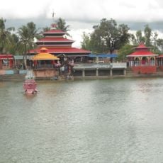
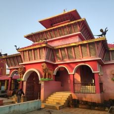
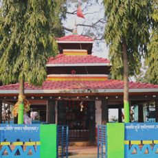
The region carries a strong connection to the ancient Mithila Kingdom, with Maithili language woven into the daily life of local residents. This linguistic tradition shapes how people communicate and express their cultural identity.

The district is organized through four administrative subdivisions—Supaul Sadar, Birpur, Triveniganj, and Nirmali—that collectively handle local services and administrative matters. Visitors should note these divisions when orienting themselves to specific areas or seeking local assistance.

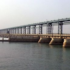
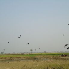
The Koshi River flows through the territory, creating fertile soils where farmers grow water chestnuts called Makhana alongside conventional crops. This specialty cultivation sets the region apart and supports the local agricultural economy.

The community of curious travelers

AroundUs brings together thousands of curated places, local tips, and hidden gems, enriched daily by 60,000 contributors worldwide.

Start exploring
Location
Inception
March 14, 1991
Capital city
Supaul
Shares border with
Madhubani district, Araria district, Madhepura district
GPS coordinates
26.13333,86.60000
Latest update
December 20, 2025 02:58
Reviews
Share your experience

No review yet

Discussions
Start a discussion...

No discussion yet

« Supaul district - Administrative district in Bihar, India » is provided by Around Us (aroundus.com). Images and texts are derived from Wikimedia project under a Creative Commons license. You are allowed to copy, distribute, and modify copies of this page, under the conditions set by the license, as long as this note is clearly visible.

Discover hidden gems everywhere you go!

From secret cafés to breathtaking viewpoints, skip the crowded tourist spots and find places that match your style. Our app makes it easy with voice search, smart filtering, route optimization, and insider tips from travelers worldwide. Download now for the complete mobile experience.

Around Us App Screenshot

A unique approach to discovering new places

Le Figaro

All the places worth exploring

France Info

A tailor-made excursion in just a few clicks

20 Minutes

Around Us
Travel Guide & Maps
Download

Send to your phone

QR Code
1

Open the camera app on your mobile.

2

Point at the QR code with your camera. A notification will appear.

3

Tap the notification to open the link.