Mansa district, Administrative district in Faridkot division, India
Mansa is an administrative district in the Faridkot division that covers approximately 2,174 square kilometers. It borders Bathinda to the northwest, Sangrur to the east, and Sirsa district to the south.
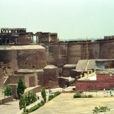
The district shows archaeological finds in its villages that resemble those from Harappa and Mohenjo-Daro civilizations. These discoveries point to settlements from the Indus Valley period.
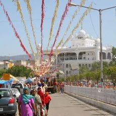
The population here speaks Punjabi and maintains strong ties to Punjab's Malwa region through traditional celebrations and everyday customs.
The district is divided into three administrative subdivisions: Mansa, Budhlada, and Sardulgarh with a total of 243 villages. A network of around 11,134 kilometers of roads connects these areas together.
The district sits in Punjab's cotton-growing region and houses the largest thermal power plant in the state. This industrial facility significantly shapes the region's economic life.
The community of curious travelers
AroundUs brings together thousands of curated places, local tips, and hidden gems, enriched daily by 60,000 contributors worldwide.