Aravalli Range, Mountain range in Rajasthan, India
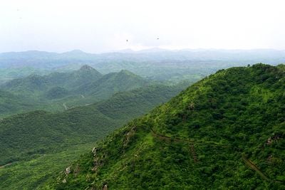
The Aravalli Range runs 692 kilometers through Rajasthan, Gujarat, Haryana, and Delhi, with its peaks rising between 300 and 900 meters above the surrounding plain. The slopes show a mix of rocky sections and green valleys, cut by narrow passes and gorges that serve as routes between regions.
This mountain system is among the oldest fold mountains in the world, formed over 2.5 billion years ago through geological processes that shaped metamorphic rock. Copper deposits attracted settlers from the Indus Valley Civilization around 4000 BCE, who mined here and established early trade routes along the valleys.
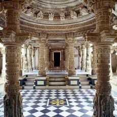
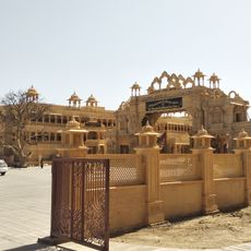
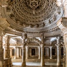
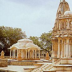
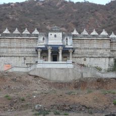
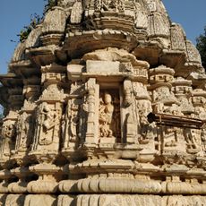
Local communities consider several peaks sacred, reflected in temples and shrines scattered along the entire length. Pilgrims and hikers follow old paths that wind through forested sections and past springs used by nearby villages for centuries.
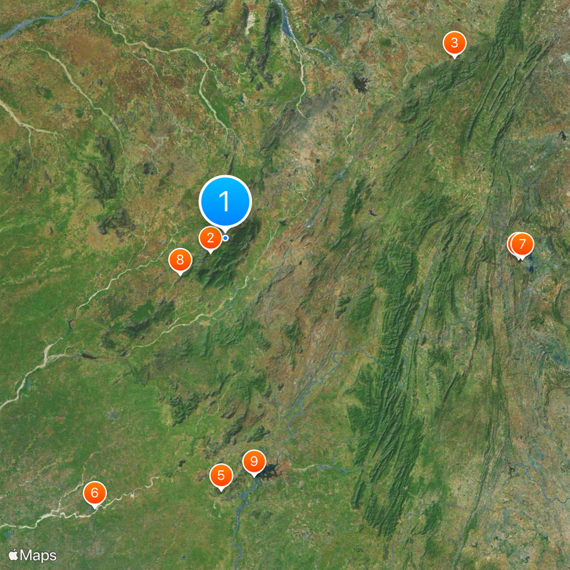
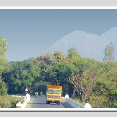
The mountains offer different access points across all four states, with roads leading to key viewpoints and settlements in the lower elevations. Visiting during the cooler months from October to March makes hiking and exploring more comfortable, as temperatures are milder then.
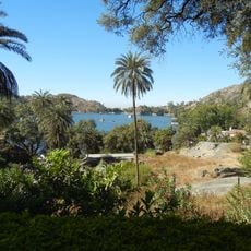
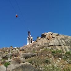
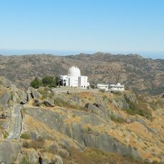
The highest point sits at Guru Shikhar on Mount Abu, rising to 1722 meters and marking the tallest elevation in all of Rajasthan. This summit carries a temple at its top, drawing pilgrims and visitors who enjoy the panoramic view over the surrounding hills.
The community of curious travelers
AroundUs brings together thousands of curated places, local tips, and hidden gems, enriched daily by 60,000 contributors worldwide.