Enable Location

We need your location to show you interesting places around you

Discover nearby places

Find interesting locations and hidden gems around you

Precise directions

Get accurate directions and distances to places

Your location is never shared with other users. It's only used when you tap the location button.

Pathanamthitta district

Log in to your account

Join the adventure

Create your free account and start exploring (like 60k+ others)

We will send you a code to connect

or
Continue with Google
Continue with Apple
By continuing, you accept our Terms and Conditions and our Privacy Policy

Check your inbox

We've sent a pincode in your inbox. Please enter the code below.

Pathanamthitta district

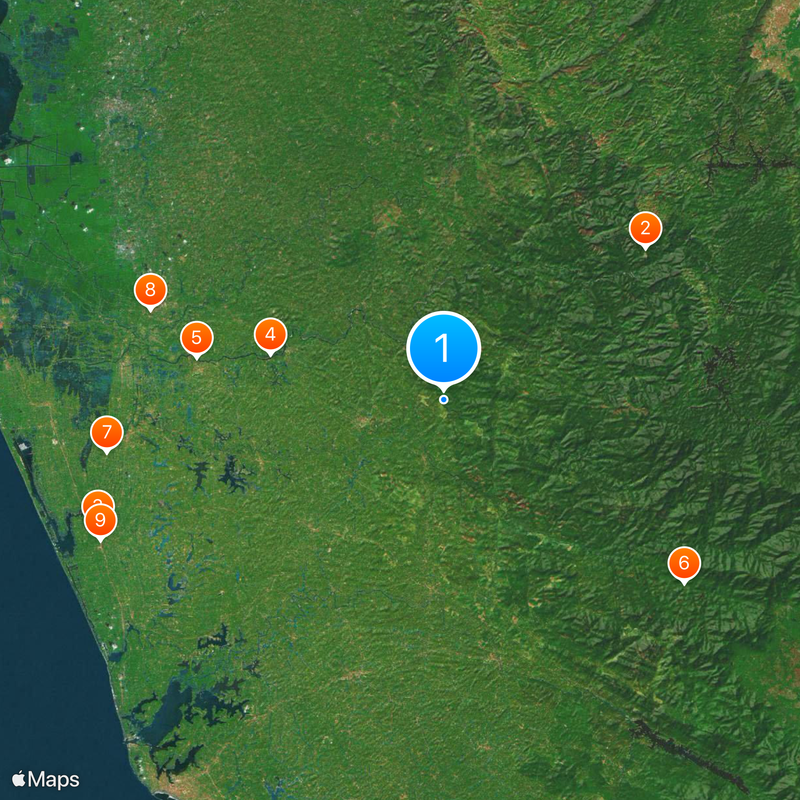
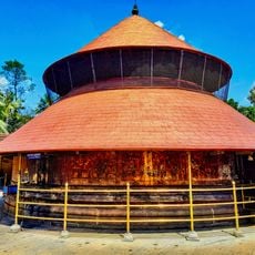
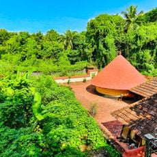
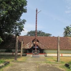
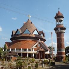
Pathanamthitta district, Administrative district in Kerala, India

Description

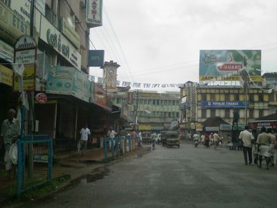
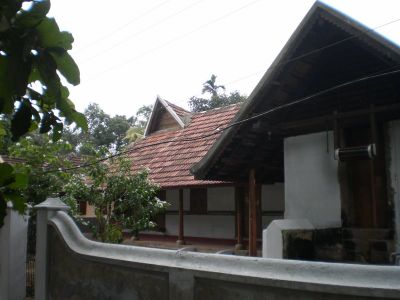
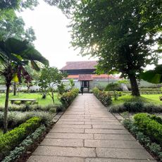
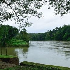
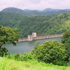
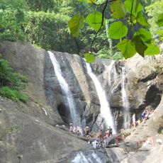
Pathanamthitta sits in southern Kerala and covers forested uplands and river valleys between the Western Ghats and the plains. The district includes several small towns and connects heavily wooded hillsides with cultivated lowlands.

History

The district was formed on November 1, 1982, from parts of three neighboring administrative areas and named after its headquarters town. Its boundaries followed older regional divisions that emerged during British colonial rule.

Culture

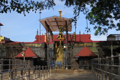
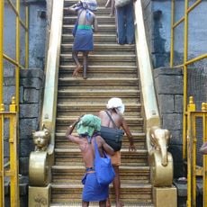
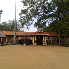
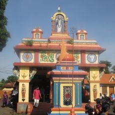
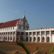
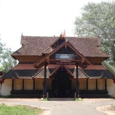
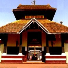
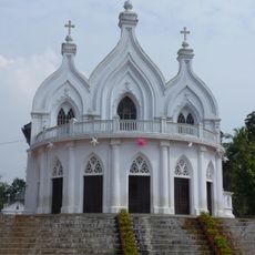
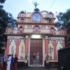
The Maramon Convention draws thousands of Christian followers annually, while the Sabarimala temple receives millions of Hindu pilgrims during festival seasons.

Practical

Travelers reach the area by road from Thiruvananthapuram, Kochi, or the hill regions to the east. The terrain becomes hilly and steeper as you move inland toward the mountains.

Did you know?

Craftsmen in Aranmula have made metal mirrors from a special bronze alloy for centuries, mixing it according to secret family recipes. The surface is polished so finely that it reflects without any mercury or silver coating.

Location
Inception
November 1, 1982
Founders
K. K. Nair
Capital city
Pathanamthitta
Shares border with
Idukki district, Kottayam district, Kollam district, Alappuzha district, Tirunelveli district, Pamba Vaali
GPS coordinates
9.28068,76.86967
Latest update
December 13, 2025 19:21

AroundUs brings together thousands of curated places, local tips, and hidden gems, enriched daily by 60,000 contributors worldwide. Discover all places nearby (Kerala).

« Pathanamthitta district - Administrative district in Kerala, India » is provided by Around Us (aroundus.com). Images and texts are derived from Wikimedia project under a Creative Commons license. You are allowed to copy, distribute, and modify copies of this page, under the conditions set by the license, as long as this note is clearly visible.

Discover hidden gems everywhere you go!

From secret cafés to breathtaking viewpoints, skip the crowded tourist spots and find places that match your style. Our app makes it easy with voice search, smart filtering, route optimization, and insider tips from travelers worldwide. Download now for the complete mobile experience.

Around Us App Screenshot

A unique approach to discovering new places

Le Figaro

All the places worth exploring

France Info

A tailor-made excursion in just a few clicks

20 Minutes

Around Us
Travel Guide & Maps
Download

Send to your phone

QR Code
1

Open the camera app on your mobile.

2

Point at the QR code with your camera. A notification will appear.

3

Tap the notification to open the link.