Kerala, State in southern India
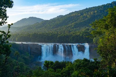
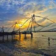
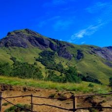
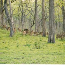
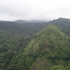
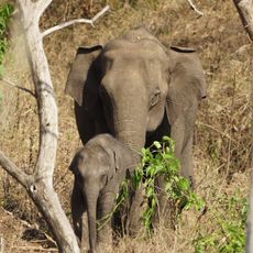
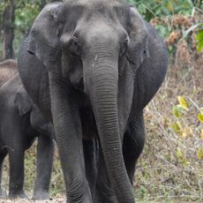
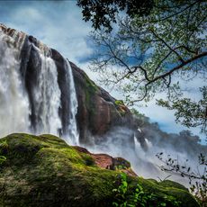
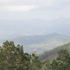
The region extends along the Arabian Sea coast for 360 miles (580 kilometers), encompassing an intricate network of inland waterways, the Western Ghats mountain range and tropical rainforests. Rice paddies and spice plantations define the interior landscape while coastal towns developed along beaches.
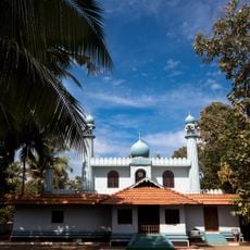
The merger of Malayalam-speaking territories occurred on November 1, 1956, through the States Reorganization Act, uniting Malabar, Cochin and Travancore. Arab traders maintained commercial relationships with coastal areas from the 7th century onward for spices and textiles.
The state maintains a centuries-old Ayurveda tradition with healing practices based on palm-leaf manuscripts and practiced in specialized treatment centers. The matrilineal family structure of the Nair community shaped social organization for generations.
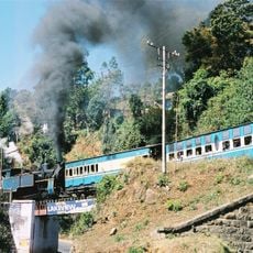
Monsoon season from June through September brings heavy rainfall, while October through March offers drier conditions for travel. International airports in Thiruvananthapuram, Kochi and Kozhikode connect the region with major cities. State-run buses and railway lines serve most destinations for visitors.
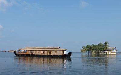
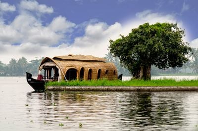
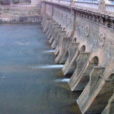
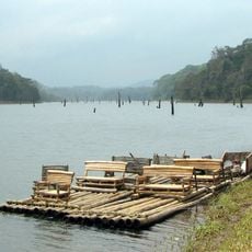
Traditional Kettuvallam houseboats constructed from coconut fiber and bamboo matting navigate through 560 miles (900 kilometers) of waterways connecting 44 rivers with lagoons and natural canals. The education system achieves a 96 percent literacy rate through public schools and universities.
The community of curious travelers
AroundUs brings together thousands of curated places, local tips, and hidden gems, enriched daily by 60,000 contributors worldwide.