Enable Location

We need your location to show you interesting places around you

Discover nearby places

Find interesting locations and hidden gems around you

Precise directions

Get accurate directions and distances to places

Your location is never shared with other users. It's only used when you tap the location button.

Karaikal district

Log in to your account

Start exploring — it's free

Trusted by 61,858 travelers worldwide

Continue with Google
Continue with Apple
or

We will send you a code to connect

By continuing, you accept our Terms and Conditions and our Privacy Policy

Check your inbox

We've sent a pincode in your inbox. Please enter the code below.

Karaikal district

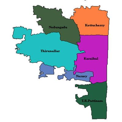
Karaikal district, Administrative district in Puducherry, India

Description

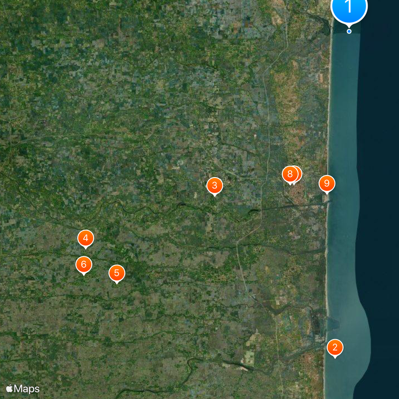
Karaikal district is an administrative area on the Coromandel Coast with one municipality and five village panchayats overseeing about twenty-seven settlements. The coastal territory includes educational institutions, police stations, and community service centers distributed across its villages.

History

The region came under French control in 1739 when Sayaji, an exiled Rajah from Thanjavur, ceded the territory. French governance lasted until 1954 when it became part of independent India.

Culture

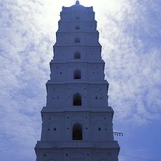
This district is the birthplace of Karaikal Ammaiyar, a revered saint in the Shaivite tradition whose spiritual legacy continues to shape local religious practices. The connection to her legacy remains visible in the way people honor and celebrate her memory in daily life.

Practical

The district has basic infrastructure spread across its villages with police stations and administrative centers serving local needs. Visitors can find schools and service centers concentrated in the larger settlements.

Did you know?

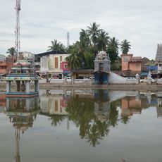
Fishing communities form the backbone of coastal life here, where traditional methods of catching and processing fish have continued for generations. These maritime traditions connect local families to the sea and shape much of the district's daily rhythm.

Location
Capital city
Karaikal
Shares border with
Nagapattinam district
Address
Karaikal, Puducherry, India
GPS coordinates
11.01667,79.86667
Latest update
December 20, 2025 02:49

AroundUs brings together thousands of curated places, local tips, and hidden gems, enriched daily by 60,000 contributors worldwide. Discover all places nearby (Puducherry).

« Karaikal district - Administrative district in Puducherry, India » is provided by Around Us (aroundus.com). Images and texts are derived from Wikimedia project under a Creative Commons license. You are allowed to copy, distribute, and modify copies of this page, under the conditions set by the license, as long as this note is clearly visible.

Discover hidden gems everywhere you go!

From secret cafés to breathtaking viewpoints, skip the crowded tourist spots and find places that match your style. Our app makes it easy with voice search, smart filtering, route optimization, and insider tips from travelers worldwide. Download now for the complete mobile experience.

Around Us App Screenshot

A unique approach to discovering new places

Le Figaro

All the places worth exploring

France Info

A tailor-made excursion in just a few clicks

20 Minutes

Around Us
Travel Guide & Maps
Download

Send to your phone

QR Code
1

Open the camera app on your mobile.

2

Point at the QR code with your camera. A notification will appear.

3

Tap the notification to open the link.