Enable Location

We need your location to show you interesting places around you

Discover nearby places

Find interesting locations and hidden gems around you

Precise directions

Get accurate directions and distances to places

Your location is never shared with other users. It's only used when you tap the location button.

Jaunpur district

Log in to your account

Start exploring — it's free

Trusted by 62,562 travelers worldwide

Continue with Google
Continue with Apple
or

We will send you a code to connect

By continuing, you accept our Terms and Conditions and our Privacy Policy

Check your inbox

We've sent a pincode in your inbox. Please enter the code below.

Jaunpur district

Jaunpur district, Administrative district in Varanasi division, India.

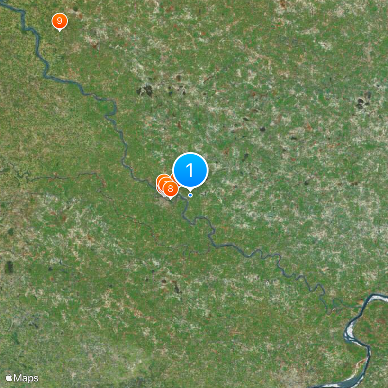
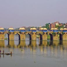
Jaunpur is an administrative district in the Varanasi region that extends across flat plains with shallow river valleys. The Gomti and Sai rivers flow through the territory and define the landscape of eastern Uttar Pradesh.

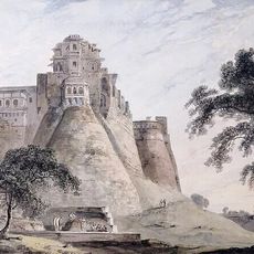
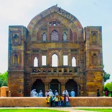
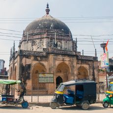
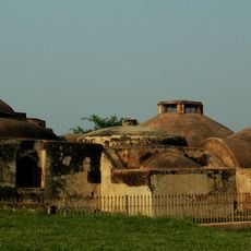
The area was founded in 1359 under Firoz Shah Tughlaq and developed into an important center under the Sharqi dynasty. British colonial rule brought structural changes that shaped the region and continue to influence it today.

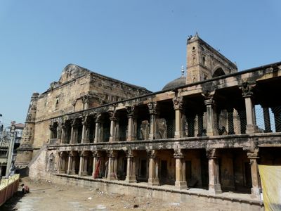
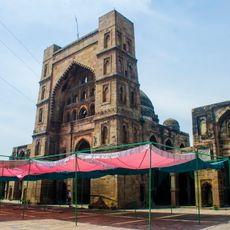
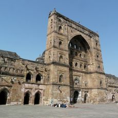
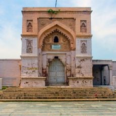
The district features religious monuments like the Atala Mosque and Jama Masjid that showcase Indo-Islamic architectural traditions. These structures reflect how different communities have shaped the local landscape and left their mark over centuries.

The district connects to major cities through four main railway stations and several bus terminals serving the region. Plan your transportation in advance, as these facilities provide the main access routes through the territory.

The district stands out for having one of the highest gender ratios in the state. With approximately 1,018 females for every 1,000 males, it differs notably from many other regions across India.

The community of curious travelers

AroundUs brings together thousands of curated places, local tips, and hidden gems, enriched daily by 60,000 contributors worldwide.

Start exploring
Capital city
Jaunpur
Shares border with
Mirzapur district
GPS coordinates
25.75000,82.75000
Latest update
December 14, 2025 18:14
« Jaunpur district - Administrative district in Varanasi division, India » is provided by Around Us (aroundus.com). Images and texts are derived from Wikimedia project under a Creative Commons license. You are allowed to copy, distribute, and modify copies of this page, under the conditions set by the license, as long as this note is clearly visible.

Discover hidden gems everywhere you go!

From secret cafés to breathtaking viewpoints, skip the crowded tourist spots and find places that match your style. Our app makes it easy with voice search, smart filtering, route optimization, and insider tips from travelers worldwide. Download now for the complete mobile experience.

Around Us App Screenshot

A unique approach to discovering new places

Le Figaro

All the places worth exploring

France Info

A tailor-made excursion in just a few clicks

20 Minutes

Around Us
Travel Guide & Maps
Download

Send to your phone

QR Code
1

Open the camera app on your mobile.

2

Point at the QR code with your camera. A notification will appear.

3

Tap the notification to open the link.