Enable Location

We need your location to show you interesting places around you

Discover nearby places

Find interesting locations and hidden gems around you

Precise directions

Get accurate directions and distances to places

Your location is never shared with other users. It's only used when you tap the location button.

Maharajganj district

Log in to your account

Start exploring — it's free

Trusted by 61,524 travelers worldwide

Continue with Google
Continue with Apple
or

We will send you a code to connect

By continuing, you accept our Terms and Conditions and our Privacy Policy

Check your inbox

We've sent a pincode in your inbox. Please enter the code below.

Maharajganj district, Administrative district in Gorakhpur division, India

Description

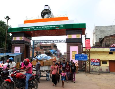
Maharajganj district is an administrative region in the Gorakhpur division that spreads across fertile plains near the Nepal border. Several rivers including Gandak, Rapti, and Rohin flow through its territory and shape the local landscape.

History

The territory became a separate district in 1989 when it was carved out from Gorakhpur as an independent administrative unit. This division created a lasting change to the administrative structure of Uttar Pradesh state.

Culture

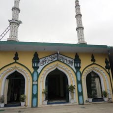
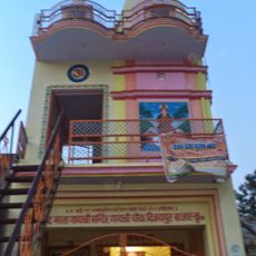
Different communities shape local religious observances throughout the year with their own festivals and gatherings. The Lehra Devi temple draws visitors during the spring and autumn Navratri celebrations when worshippers gather for prayers and ceremonies.

Practical

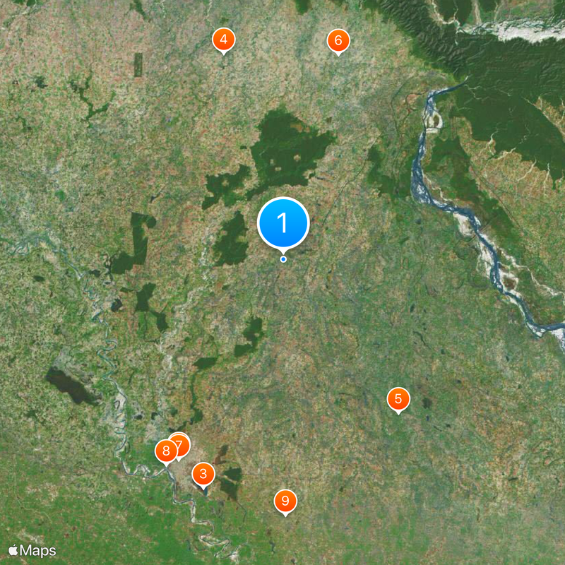
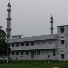
The administrative region is organized into multiple municipal centers, with several smaller towns providing local services and facilities. Various villages and police stations are distributed across the area, making it possible for visitors to access different parts of the territory.

Did you know?

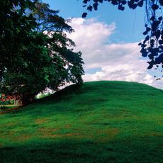
Archaeological digs across the region have uncovered Buddhist-era remains that point to possible connections with historical events in the Buddha's life. These findings offer insights into religious developments that shaped the area over centuries.

Capital city
Mahrajganj
Shares border with
Siddharthnagar district, West Champaran district
GPS coordinates
27.13000,83.57000
Latest update
December 17, 2025 11:01

AroundUs brings together thousands of curated places, local tips, and hidden gems, enriched daily by 60,000 contributors worldwide. Discover all places nearby (Gorakhpur division).

« Maharajganj district - Administrative district in Gorakhpur division, India » is provided by Around Us (aroundus.com). Images and texts are derived from Wikimedia project under a Creative Commons license. You are allowed to copy, distribute, and modify copies of this page, under the conditions set by the license, as long as this note is clearly visible.

Discover hidden gems everywhere you go!

From secret cafés to breathtaking viewpoints, skip the crowded tourist spots and find places that match your style. Our app makes it easy with voice search, smart filtering, route optimization, and insider tips from travelers worldwide. Download now for the complete mobile experience.

Around Us App Screenshot

A unique approach to discovering new places

Le Figaro

All the places worth exploring

France Info

A tailor-made excursion in just a few clicks

20 Minutes

Around Us
Travel Guide & Maps
Download

Send to your phone

QR Code
1

Open the camera app on your mobile.

2

Point at the QR code with your camera. A notification will appear.

3

Tap the notification to open the link.