Enable Location

We need your location to show you interesting places around you

Discover nearby places

Find interesting locations and hidden gems around you

Precise directions

Get accurate directions and distances to places

Your location is never shared with other users. It's only used when you tap the location button.

Log in to your account

Start exploring — it's free

Trusted by 62,616 travelers worldwide

Continue with Google
Continue with Apple
or

We will send you a code to connect

By continuing, you accept our Terms and Conditions and our Privacy Policy

Check your inbox

We've sent a pincode in your inbox. Please enter the code below.

Etawah district, Administrative district in Kanpur division, India

Etawah is an administrative district in the Kanpur division of western Uttar Pradesh and spreads along the Yamuna River. The region contains various towns and villages with farmland, local markets, and residential areas.

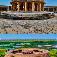
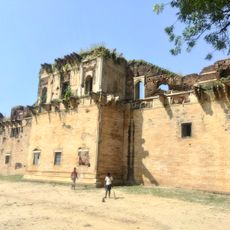
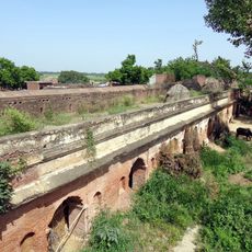
The district was part of the ancient Panchala region during the Mahabharata era and played a significant role during the 1857 rebellion against British rule. These historical events shaped the region's cultural identity.

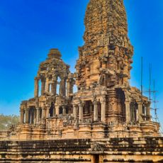
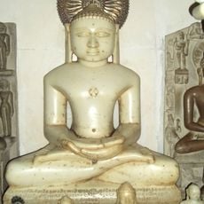
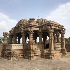
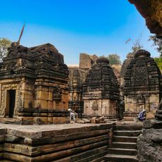
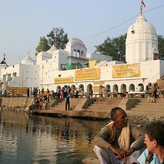
The district maintains traditional Hindi language practices with 98.18% of residents speaking Hindi, while local temples showcase regional architectural elements and religious customs.

The district connects to major cities through National Highway 19 and the Agra-Lucknow Expressway, with train service from Etawah Junction railway station. The best time to visit is during the cooler months from October through March.

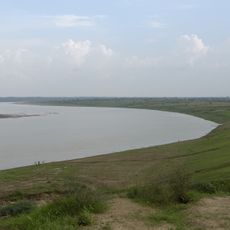
The Rathore Park Sarsai Nawar Wetland is a protected nature reserve where various bird species can be spotted throughout the year. The site offers visitors a chance to observe local wildlife in their natural habitat.

The community of curious travelers

AroundUs brings together thousands of curated places, local tips, and hidden gems, enriched daily by 60,000 contributors worldwide.

Start exploring
Location
Capital city
Etawah
Shares border with
Firozabad district, Jalaun district, Auraiya district, Mainpuri district
GPS coordinates
26.79000,79.02000
Latest update
December 20, 2025 13:37
« Etawah district - Administrative district in Kanpur division, India » is provided by Around Us (aroundus.com). Images and texts are derived from Wikimedia project under a Creative Commons license. You are allowed to copy, distribute, and modify copies of this page, under the conditions set by the license, as long as this note is clearly visible.

Discover hidden gems everywhere you go!

From secret cafés to breathtaking viewpoints, skip the crowded tourist spots and find places that match your style. Our app makes it easy with voice search, smart filtering, route optimization, and insider tips from travelers worldwide. Download now for the complete mobile experience.

Around Us App Screenshot

A unique approach to discovering new places

Le Figaro

All the places worth exploring

France Info

A tailor-made excursion in just a few clicks

20 Minutes

Around Us
Travel Guide & Maps
Download

Send to your phone

QR Code
1

Open the camera app on your mobile.

2

Point at the QR code with your camera. A notification will appear.

3

Tap the notification to open the link.