Kinnaur district, Administrative district in Himachal Pradesh, India
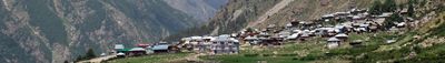
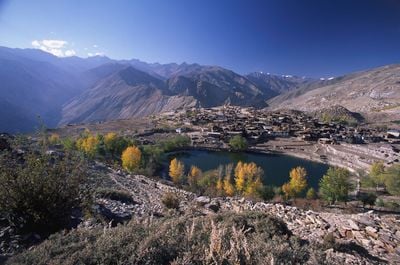
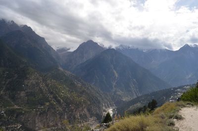
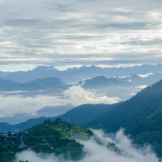
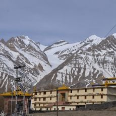
This administrative unit in northeastern Himachal Pradesh spreads across several mountain ranges and is carved by the Sutlej River, which forms deep valleys between forested slopes. The landscape shifts from narrow gorges in the south to wide high-altitude plateaus in the north, where alpine meadows and rocky ridges dominate.
The area was part of the Bushahr princely state for centuries, which moved its capital several times before the region was organized as a separate unit in 1960. The new administrative structure brought offices and institutions to a region previously governed mainly by local rulers.
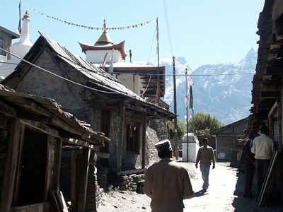
The name comes from the Kinner, mythical beings from ancient Hindu stories said to have lived in these mountains. Today villages in the higher valleys blend Tibetan Buddhist influences with local traditions, visible in temples, prayer flags, and the rhythm of religious festivals.
The administrative center in Reckong Peo offers basic services and serves as a starting point for trips to higher valleys and villages. Roads can be narrow and winding depending on the season, especially during monsoon rains and snowy winters.
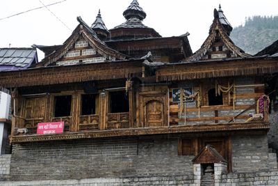
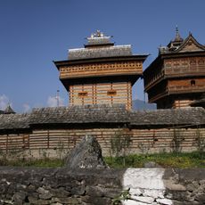
Some villages still maintain old wooden building styles with richly carved beams and stone or wooden shingle roofs that have changed little over generations. This architecture shows especially in remote valleys, where houses often cling multi-storied to steep slopes.
The community of curious travelers
AroundUs brings together thousands of curated places, local tips, and hidden gems, enriched daily by 60,000 contributors worldwide.