Mandsaur district, Administrative district in Ujjain division, India.
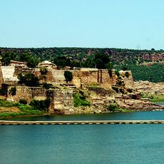
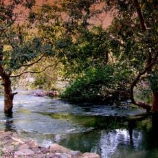
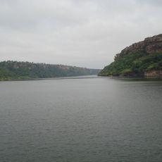
Mandsaur district is an administrative region covering roughly 9,800 square kilometers (3,800 square miles) with a geography shaped by rivers and agricultural fields. The landscape blends characteristics from the historical Mewar and Malwa regions with contemporary settlements and farming areas.
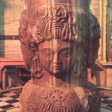
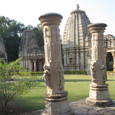
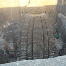
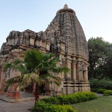
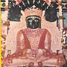
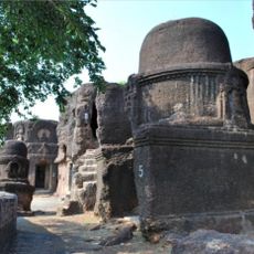
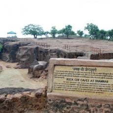
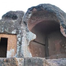
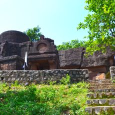
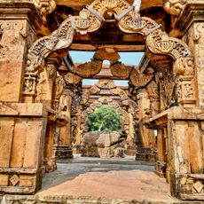
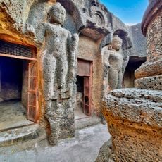
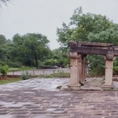
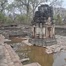
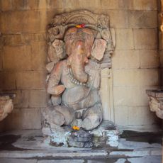
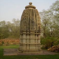
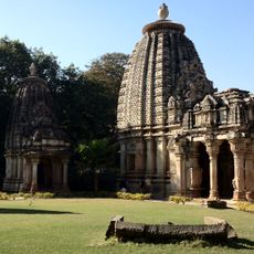
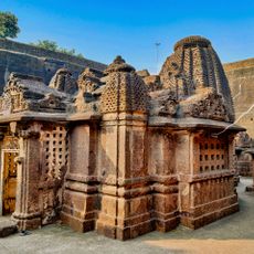
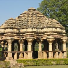
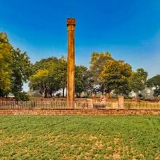
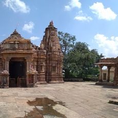
The area was once a center of the Aulikaras dynasty, whose rule in Dashapura left behind sculptured pillars and inscribed monuments. These archaeological finds reveal the importance of this early Indian rule in the region.
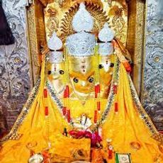
The region reflects Rajasthani traditions through the Malvi language spoken by residents and local festivals celebrated throughout the year. Visitors notice these cultural expressions in daily life and community gatherings.
Summer temperatures exceed 45°C (113°F), so October through March is the best time to explore the region. Travel during the warmer months requires preparation for intense heat and carrying plenty of water.
The region plays a significant role in India's legal opium production, reflecting a long tradition of cultivation in this area. At the same time, it is developing as a center for renewable energy through wind and solar installations.
Location: Ujjain division
Capital city: Mandsaur
Shares border with: Neemuch district, Jhalawar district
Website: http://mandsaur.nic.in
GPS coordinates: 24.07262,75.06794
Latest update: December 7, 2025 20:49
Bagalamukhi Temple
121.7 kmMalvos plynaukštė
98.7 kmMukundra Hills Tiger Reserve
119.2 km
Gagron Fort
128.9 km
Pashupatinath Temple
2.1 km
Sita Mata Wildlife Sanctuary
66.2 km
Baroli Temple Complex
112 km
Gandhi Sagar Sanctuary
86.6 km
Dharmrajeshwar
45.8 km
Ghateshwar Temple
112 km
Nageshwar Parshwanath Tirth
60.1 km
Kolvi Caves
79.5 km
Dhamnar Caves
45.7 km
Sondani
4.2 km
Hathiagor Buddhist Caves
81.1 km
Binnayaga caves
83.8 km
Nava Toran Temple
63.3 km
Dhamnar caves
45.8 km
Temple, Fort wall and Statues
124.5 km
Shiva Temple in the tank
112 km
Ganesha Temple
112.1 km
Trimurti Temple
112 km
Ashtamata Temple
112 km
Dhamnar Dharmrajeshwar temple, Chandwasa
45.8 km
Prehistoric Painted Rock Shelters at Chatarbhuj Nala
91.2 km
Shrinagar Chawri
112 km
Sondani victory pillars
4.3 km
Mahakal and two other temples
123.5 kmVisited this place? Tap the stars to rate it and share your experience / photos with the community! Try now! You can cancel it anytime.
Discover hidden gems everywhere you go!
From secret cafés to breathtaking viewpoints, skip the crowded tourist spots and find places that match your style. Our app makes it easy with voice search, smart filtering, route optimization, and insider tips from travelers worldwide. Download now for the complete mobile experience.
A unique approach to discovering new places❞
— Le Figaro
All the places worth exploring❞
— France Info
A tailor-made excursion in just a few clicks❞
— 20 Minutes