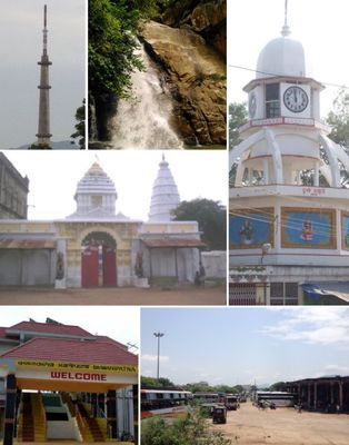
Kalahandi district, Administrative district in western Odisha, India
Kalahandi is an administrative district in western Odisha with Bhawanipatna serving as its administrative center. The region connects through rail networks and national highways, with multiple healthcare facilities distributed across its area.
The Naga dynasty gained control around 1006 and ruled for many centuries. After Indian independence in 1947, the region became part of Odisha.
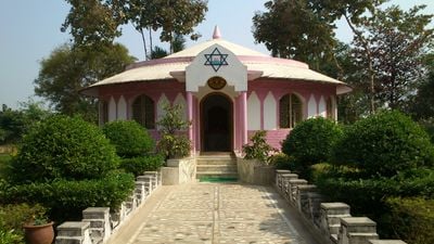
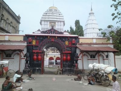
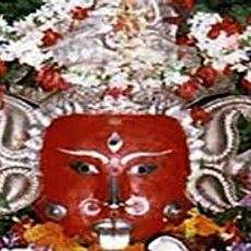
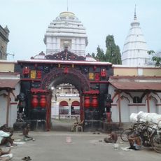
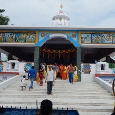
Local residents speak their own dialect of Odia and blend Hindu and tribal traditions in how they celebrate and worship together. These practices shape the rhythm of daily life across the district.
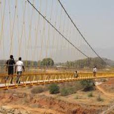
The district is well-connected through National Highway 130C and rail services at Bhawanipatna. Healthcare facilities are available, though visitors should check conditions and transport options before traveling to specific areas.
The region became known through the term Kalahandi Syndrome, which emerged to describe repeated drought cycles and food security challenges in this agricultural area. This phrase captures the historical struggles local farmers faced with their crops.
Location: Southern division
Capital city: Bhawanipatna
Shares border with: Nuapada district, Rayagada district
Website: http://kalahandi.nic.in
GPS coordinates: 20.08300,83.20000
Latest update: December 14, 2025 17:44
Indravati Dam
97.9 km
Samaleswari Temple
84.2 km
Majhighariani Temple
105 kmKarlapat
46.4 km
Manikeshwari Temple
20 km
Phurlijharan
34.8 kmAsurgarh
15.1 kmMaa Markama Temple
72.3 km
Hanging Bridge at Chekaguda, Rayagada
104.8 km
Jagannath Temple, Rayagada
105 kmIndralath Temple
33.2 km
Laxminarayan temple, Therubali
87.8 kmPhurlijharan Falls
34.8 kmUdanti Wildlife Sanctuary
91.8 km
Ma Mangala Ma Temple, Rayagada
104.2 km
Maa Bhandara Gharani Temple
116.9 kmChausatti Jogini temple together with three minor shrines
24.7 kmAncient site of Asurgarh fort
65.1 kmParewadara Falls
83.8 kmDeodara Falls
90.7 kmGadgada Falls
71.1 kmGoseidhara Waterfall
91.5 kmPUNJAPAI DESSIA VILLAGE
107.5 kmSHAMBARA tribe VILLAGE Minapai
116.6 kmLonda Pahad
104.2 kmRabandhar Waterfall
25.7 kmPhurli Jharan
34.9 kmRabandhar Waterfall Main
26.3 kmVisited this place? Tap the stars to rate it and share your experience / photos with the community! Try now! You can cancel it anytime.
Discover hidden gems everywhere you go!
From secret cafés to breathtaking viewpoints, skip the crowded tourist spots and find places that match your style. Our app makes it easy with voice search, smart filtering, route optimization, and insider tips from travelers worldwide. Download now for the complete mobile experience.
A unique approach to discovering new places❞
— Le Figaro
All the places worth exploring❞
— France Info
A tailor-made excursion in just a few clicks❞
— 20 Minutes