Enable Location

We need your location to show you interesting places around you

Discover nearby places

Find interesting locations and hidden gems around you

Precise directions

Get accurate directions and distances to places

Your location is never shared with other users. It's only used when you tap the location button.

Balasore district

Log in to your account

Start exploring — it's free

Trusted by 61,554 travelers worldwide

Continue with Google
Continue with Apple
or

We will send you a code to connect

By continuing, you accept our Terms and Conditions and our Privacy Policy

Check your inbox

We've sent a pincode in your inbox. Please enter the code below.

Balasore district

Balasore district, Administrative district in eastern Odisha, India

Description

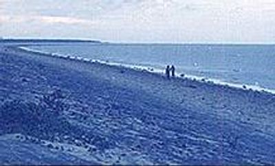
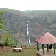
Balasore district is an administrative region in eastern Odisha along the Bay of Bengal. The land shifts between flat coastal plains and gently elevated areas, with numerous villages and urban centers scattered throughout.

History

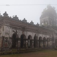
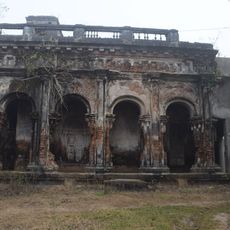
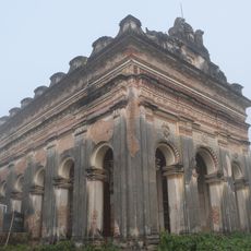
The area was an important trading hub during British colonial times, linking maritime routes with inland territories. This connection made it a key crossroads for commerce and exchange across land and water.

Culture

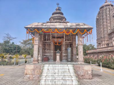
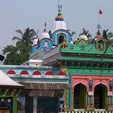
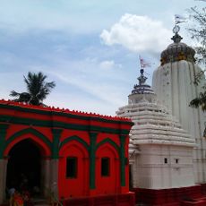
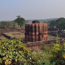
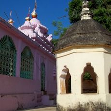
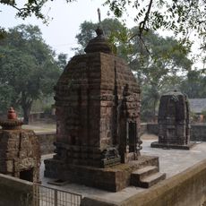
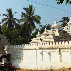
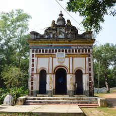
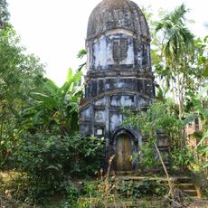
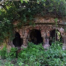
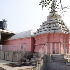
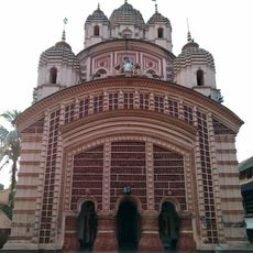
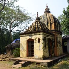
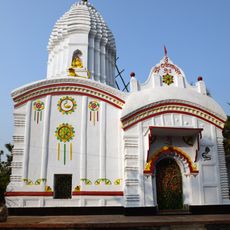
The region has long been a center for traditional arts and local celebrations that shape community life. People maintain age-old crafts and practices passed down through families and generations.

Practical

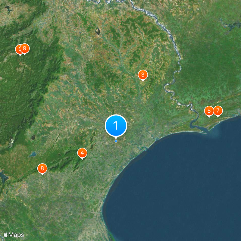
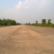
The Balasore railway station connects major cities on direct lines, and two national highways enable travel throughout the region. The best time to visit is outside the monsoon months when roads are accessible and weather is pleasant.

Did you know?

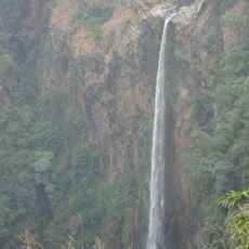
The Subarnarekha River flows through the area and creates fertile ground where it meets the bay. This natural waterway has fed generations of farmers and fishing families and continues to shape the local economy.

Location
Central division
Capital city
Balasore
Elevation above the sea
90.08 m
Shares border with
Mayurbhanj district, Bhadrak district, Paschim Medinipur district, Purba Medinipur district
GPS coordinates
21.50000,86.90000
Latest update
December 20, 2025 00:05

AroundUs brings together thousands of curated places, local tips, and hidden gems, enriched daily by 60,000 contributors worldwide. Discover all places nearby (Central division).

« Balasore district - Administrative district in eastern Odisha, India » is provided by Around Us (aroundus.com). Images and texts are derived from Wikimedia project under a Creative Commons license. You are allowed to copy, distribute, and modify copies of this page, under the conditions set by the license, as long as this note is clearly visible.

Discover hidden gems everywhere you go!

From secret cafés to breathtaking viewpoints, skip the crowded tourist spots and find places that match your style. Our app makes it easy with voice search, smart filtering, route optimization, and insider tips from travelers worldwide. Download now for the complete mobile experience.

Around Us App Screenshot

A unique approach to discovering new places

Le Figaro

All the places worth exploring

France Info

A tailor-made excursion in just a few clicks

20 Minutes

Around Us
Travel Guide & Maps
Download

Send to your phone

QR Code
1

Open the camera app on your mobile.

2

Point at the QR code with your camera. A notification will appear.

3

Tap the notification to open the link.