Enable Location

We need your location to show you interesting places around you

Discover nearby places

Find interesting locations and hidden gems around you

Precise directions

Get accurate directions and distances to places

Your location is never shared with other users. It's only used when you tap the location button.

East Sikkim district

Log in to your account

Start exploring — it's free

Trusted by 63,449 travelers worldwide

Continue with Google
Continue with Apple
or

We will send you a code to connect

By continuing, you accept our Terms and Conditions and our Privacy Policy

Check your inbox

We've sent a pincode in your inbox. Please enter the code below.

East Sikkim district
Discussion Reviews 1 Photos
11.8k Popularity

East Sikkim district, Administrative district in Sikkim, India

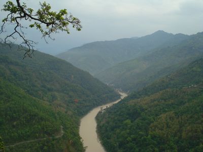
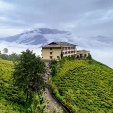
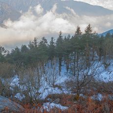
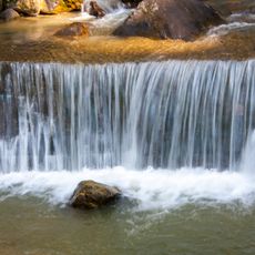
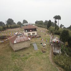
East Sikkim district is a mountainous area with high passes, lakes, and the Teesta River flowing through its valleys. The landscape is shaped by mountain formations and waterways that structure the terrain.

The area was part of the Kingdom of Sikkim until 1975, when it became part of India as Sikkim became the country's 22nd state. This political change marked the shift from independent kingdom to Indian administrative structure.

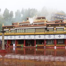
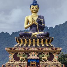
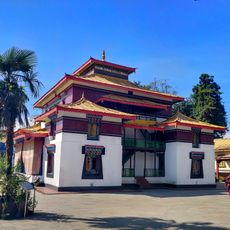
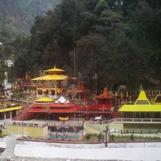
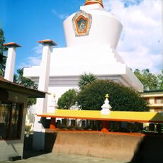
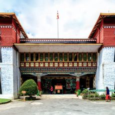
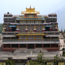
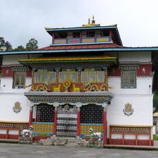
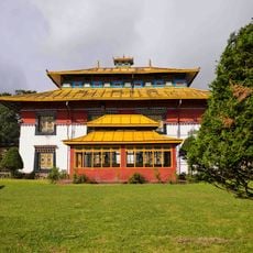
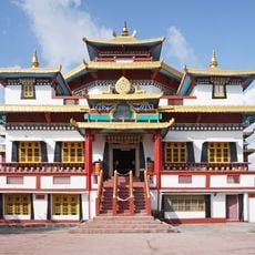
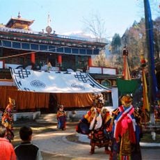
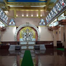
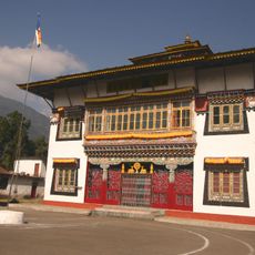
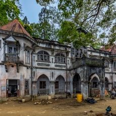
The region is home to Lepcha, Bhutia, and Nepali communities whose languages and traditions shape daily life. You see this cultural mix in the houses, markets, and religious sites that exist side by side.

Special permits are needed to visit certain border areas, with the best travel time between March and May. Mountain paths are more accessible during these months and weather is more stable.

The Nathula Pass connects India to Tibet at 4,310 meters elevation and serves as a significant mountain passage. This pass is notable for being one of the highest border crossings in the region and linking trade routes amid extreme weather conditions.

The community of curious travelers

AroundUs brings together thousands of curated places, local tips, and hidden gems, enriched daily by 60,000 contributors worldwide.

Start exploring
Capital city
Gangtok
Elevation above the sea
610 m
Shares border with
Kalimpong district
GPS coordinates
27.31667,88.60000
Latest update
December 7, 2025 20:49
Reviews
Share your experience

No review yet

Discussions
Start a discussion...

No discussion yet

« East Sikkim district - Administrative district in Sikkim, India » is provided by Around Us (aroundus.com). Images and texts are derived from Wikimedia project under a Creative Commons license. You are allowed to copy, distribute, and modify copies of this page, under the conditions set by the license, as long as this note is clearly visible.

Discover hidden gems everywhere you go!

From secret cafés to breathtaking viewpoints, skip the crowded tourist spots and find places that match your style. Our app makes it easy with voice search, smart filtering, route optimization, and insider tips from travelers worldwide. Download now for the complete mobile experience.

Around Us App Screenshot

A unique approach to discovering new places

Le Figaro

All the places worth exploring

France Info

A tailor-made excursion in just a few clicks

20 Minutes

Around Us
Travel Guide & Maps
Download

Send to your phone

QR Code
1

Open the camera app on your mobile.

2

Point at the QR code with your camera. A notification will appear.

3

Tap the notification to open the link.