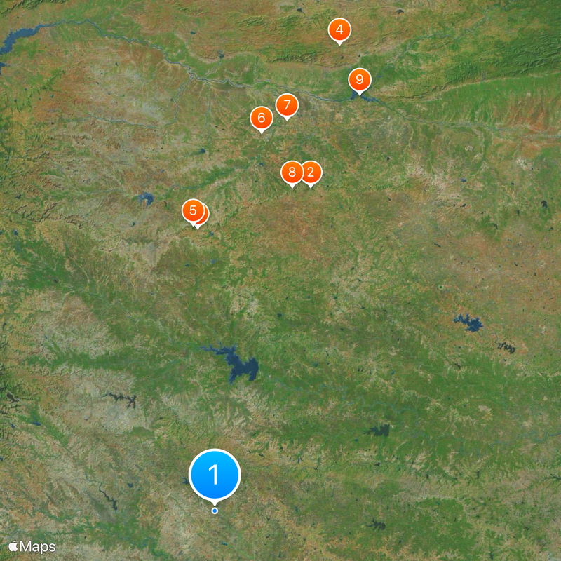
Jalgaon district, Administrative district in Nashik division, Maharashtra, India
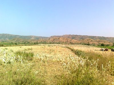
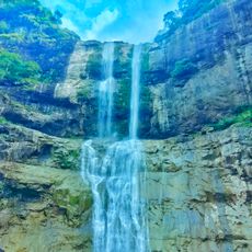
Jalgaon is an administrative district in the Nashik division of Maharashtra state. Multiple rivers including the Tapi, Purna, Aner, and Girna flow through the region, supporting agriculture and providing natural boundaries between different parts of the district.
The district was established in 1906 when British administrators divided Khandesh territory and created East Khandesh in this area. It received its current name of Jalgaon during territorial reorganization that followed India's independence.
Marathi is the primary language spoken by most residents and shapes daily interactions throughout the region. Strong ties to agricultural traditions and family structures define how people organize their social lives and community gatherings.
The district headquarters is based in Jalgaon city, where you can find administrative offices and local services. Getting around is easiest by using regional buses and local transportation, especially when moving between different towns and rural areas.
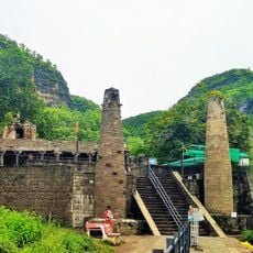
This region is Maharashtra's leading banana producer, with extensive cultivation supporting farmers across numerous villages. The Bhusawal Thermal Power Station stands as a major industrial facility that has shaped local employment and infrastructure development.
Location: Nashik division
Inception: May 1, 1960
Capital city: Jalgaon
Shares border with: Burhanpur district, Aurangabad district
Website: http://jalgaon.gov.in
GPS coordinates: 18.65000,75.10000
Latest update: December 6, 2025 21:22
Khandoba Temple, Jejuri
107.7 km
Bhuleshwar Temple, Pune
93.7 km
Ahmednagar Fort
61.4 km
Morgaon Ganesha Temple
92.2 km
Siddhivinayak Temple, Siddhatek
45.6 km
Ranjangaon Ganpati
92.1 km
Great Indian Bustard Sanctuary
34.8 km
Cavalry Tank Museum
59.8 km
Mayureshwar Wildlife Sanctuary
84.6 km
Yamai Temple
147.7 km
Dharashiv Caves
108.6 km
Bahadur Fort
44.7 km
Tomb of Salabat Khan II
56.4 km
Shantinath Jain Teerth
59.2 km
Kankaleshwar Temple
79.8 km
Samadhi of Meher Baba
58.8 km
Jnaneshwar Udyan
97.8 km
Farah Bagh
59.3 km
Mandohol Dam
103.4 km
Temple of Haranareshwar & Ardhanarinateshwar, one Hemadpanthi tank (small square kunda) & Viragal stones kept in the compound
95.7 km
Damri Masjid
61.9 km
Shri Laxmi Narsimha Temple
75.7 km
Baleshwar Temple
44.7 km
Bara Imam Kotla
62.8 km
Gateway and old Maruti temple with Viragal stones on either side
95.7 km
Temple of Malikarjuna
86 km
Jain Temple
85.9 km
Tomb of Nizam Ahmedshah
63.7 kmReviews
Visited this place? Tap the stars to rate it and share your experience / photos with the community! Try now! You can cancel it anytime.
Discover hidden gems everywhere you go!
From secret cafés to breathtaking viewpoints, skip the crowded tourist spots and find places that match your style. Our app makes it easy with voice search, smart filtering, route optimization, and insider tips from travelers worldwide. Download now for the complete mobile experience.
A unique approach to discovering new places❞
— Le Figaro
All the places worth exploring❞
— France Info
A tailor-made excursion in just a few clicks❞
— 20 Minutes