Enable Location

We need your location to show you interesting places around you

Discover nearby places

Find interesting locations and hidden gems around you

Precise directions

Get accurate directions and distances to places

Your location is never shared with other users. It's only used when you tap the location button.

Nainital district

Log in to your account

Start exploring — it's free

Trusted by 62,492 travelers worldwide

Continue with Google
Continue with Apple
or

We will send you a code to connect

By continuing, you accept our Terms and Conditions and our Privacy Policy

Check your inbox

We've sent a pincode in your inbox. Please enter the code below.

Nainital district

Nainital district, Administrative district in Kumaon division, India.

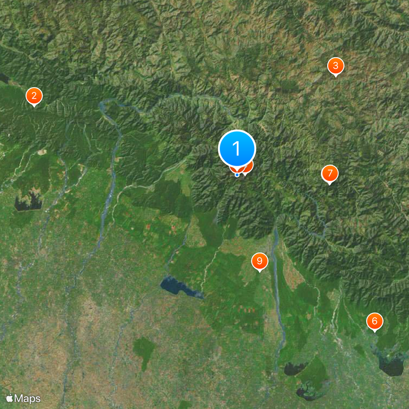
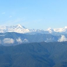
Nainital district is an administrative area in the Kumaon division that spreads across the lower Himalayan foothills with elevations reaching up to 2600 meters (8500 feet). The Kosi River marks its northern boundary with Almora and flows through much of the landscape.

The region was originally ruled by the Chand dynasty until 1790 when Gorkha forces took control. British administration began in 1814 following the Anglo-Nepalese War, reshaping governance in the area.

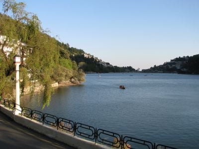
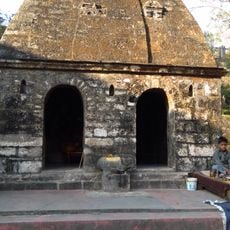
The district takes its name from Naini Lake, which holds deep spiritual meaning in Hindu tradition as a sacred pilgrimage site. Visitors encounter this religious connection when exploring the lake and the temples around it.

Haldwani serves as the largest urban center in the district and functions as the main transport and supply hub for visitors. The town of Nainital acts as the administrative headquarters and offers the best infrastructure for accommodations and dining.

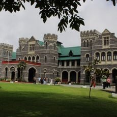
The district is home to the Uttarakhand High Court, one of the region's most important legal institutions. This presence highlights the district's role as a significant administrative and judicial hub in northern India.

The community of curious travelers

AroundUs brings together thousands of curated places, local tips, and hidden gems, enriched daily by 60,000 contributors worldwide.

Start exploring
Location
Capital city
Nainital
Shares border with
Pauri Garhwal district, Udham Singh Nagar district
GPS coordinates
29.38000,79.45000
Latest update
December 20, 2025 11:37
« Nainital district - Administrative district in Kumaon division, India » is provided by Around Us (aroundus.com). Images and texts are derived from Wikimedia project under a Creative Commons license. You are allowed to copy, distribute, and modify copies of this page, under the conditions set by the license, as long as this note is clearly visible.

Discover hidden gems everywhere you go!

From secret cafés to breathtaking viewpoints, skip the crowded tourist spots and find places that match your style. Our app makes it easy with voice search, smart filtering, route optimization, and insider tips from travelers worldwide. Download now for the complete mobile experience.

Around Us App Screenshot

A unique approach to discovering new places

Le Figaro

All the places worth exploring

France Info

A tailor-made excursion in just a few clicks

20 Minutes

Around Us
Travel Guide & Maps
Download

Send to your phone

QR Code
1

Open the camera app on your mobile.

2

Point at the QR code with your camera. A notification will appear.

3

Tap the notification to open the link.