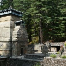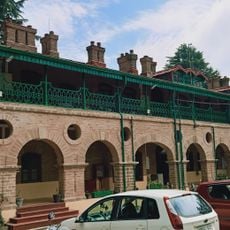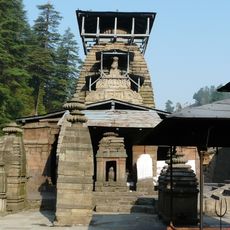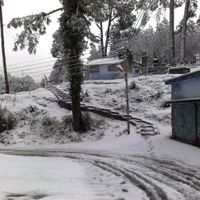
Kumaon division, Administrative division in Uttarakhand, India
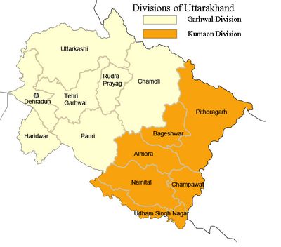
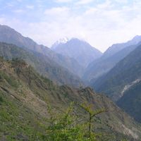
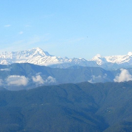
Kumaon is a revenue and administrative division covering the eastern half of Uttarakhand, made up of six districts: Pithoragarh, Bageshwar, Almora, Champawat, Nainital and Udham Singh Nagar. It borders Tibet to the north, Nepal to the east, Uttar Pradesh to the south and Garhwal Division to the west. Its land is a Himalayan tract of layered forested ridges and snow-capped summits, with the submontane Terai and Bhabar strips along the southern edge.
British forces took control of the territory in 1815 after the Gurkha War and incorporated it as an administrative unit within their colonial rule. Before British arrival, local dynasties such as the Chand kings had ruled the region for centuries.
The people are called Kumaonis and speak Kumaoni, a language the sources record without describing any script. The name Kumaon is traced to Kurmanchal, the land of Kurma, Vishnu's tortoise avatar, and the region appears in the Skanda Purana as Manaskhand. The Kumaon Regiment, a well-known Indian Army unit, is based at Ranikhet.
Travelers reach the different districts through bus connections and mountain roads that link main towns from Nainital. The best travel period falls between April and June as well as September and November, when roads remain passable and visibility stays clear.
Kumaon is home to the Kumaon Regiment of the Indian Army, whose regimental centre is at Ranikhet. The region's name is often linked to Kurmanchal, the land of Kurma, the tortoise avatar of Vishnu, as recorded in the Skanda Purana under the name Manaskhand.
The community of curious travelers
AroundUs brings together thousands of curated places, local tips, and hidden gems, enriched daily by 93,621 contributors worldwide.