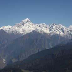
Pindari Glacier, Himalayan glacier in Bageshwar district, India
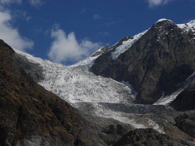
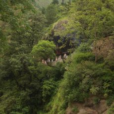
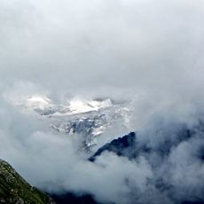
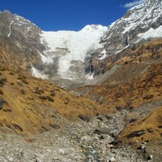
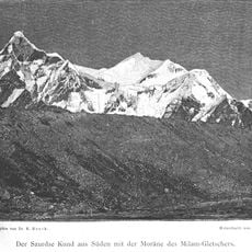
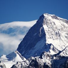
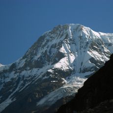
Pindari Glacier is a Himalayan glacier in Bageshwar district that stretches for more than 30 kilometers in length at an elevation of 3660 meters. The ice flows down between steep rock walls and ends at a snout where meltwater forms a stream.
Explorers first mapped the area in the 19th century when British colonial officials surveyed the Kumaon hill region. The meltwater has fed the Pindar River for centuries, which later joins the Alaknanda at Karnaprayag.
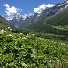
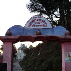
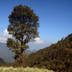
The ice feeds the Pindar River and supplies water to villages downstream, giving it a special place in local life. Trekkers pass small settlements along the way where herders and farmers keep their flocks on high pastures.
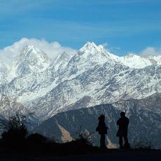
The trekking route starts from Bageshwar and covers 81 kilometers (about 50 miles) with rest stops at Loharkhet, Dhakuri, and Khati. The terrain rises steadily, so good fitness is needed, and visitors should prepare for changing weather.
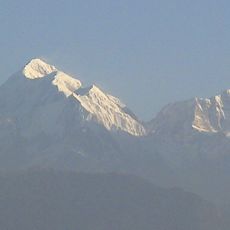
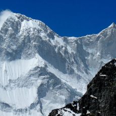
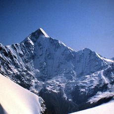
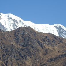
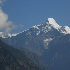
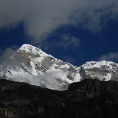
The ice field sits wedged between the peaks of Nanda Devi and Nandakot, giving it a dramatic setting. Musk deer and monal birds live in this area, rarely seen at higher elevations.
The community of curious travelers
AroundUs brings together thousands of curated places, local tips, and hidden gems, enriched daily by 60,000 contributors worldwide.