·

Enable Location

We need your location to show you interesting places around you

Discover nearby places

Find interesting locations and hidden gems around you

Precise directions

Get accurate directions and distances to places

Your location is never shared with other users. It's only used when you tap the location button.

Nilgiri Parbat

Log in to your account

Start exploring — it's free

Trusted by 62,668 travelers worldwide

Continue with Google
Continue with Apple
or

We will send you a code to connect

By continuing, you accept our Terms and Conditions and our Privacy Policy

Check your inbox

We've sent a pincode in your inbox. Please enter the code below.

Nilgiri Parbat

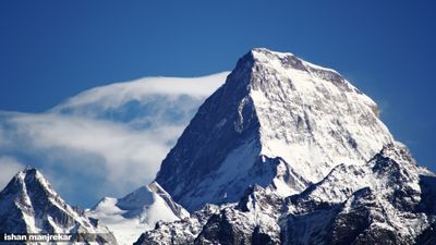
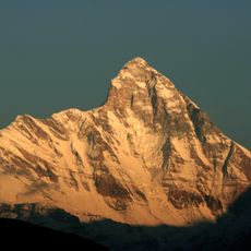
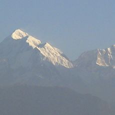
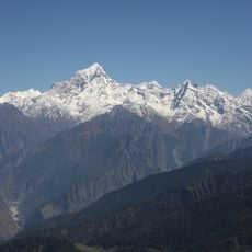
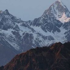
Nilgiri Parbat, Mountain summit in Garhwal Himalayas, India

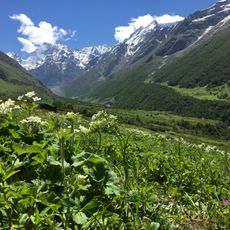
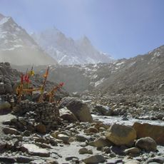
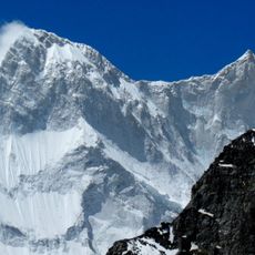
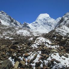
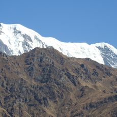
Nilgiri Parbat rises to 6,474 meters (21,240 feet) within Valley of Flowers National Park and dominates the eastern region of Garhwal Himalayas. Four major glaciers surround the mountain on its western, northern, eastern, and southern flanks, forming a complex ice system.

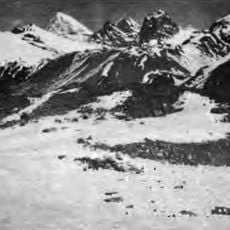
Frank Smythe made the first documented ascent in 1937, marking the start of climbing activity on this peak. Since this achievement, the summit has attracted experienced mountaineers seeking technical routes in the Himalayas.

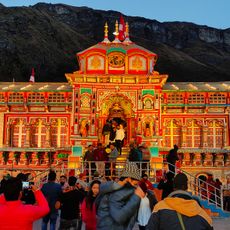
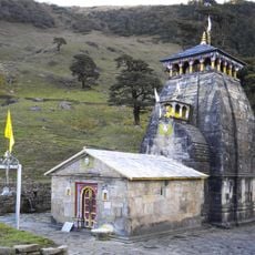
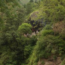
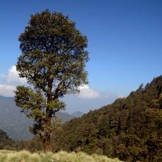
The mountain's name comes from Sanskrit, with Nilgiri meaning blue mountain and Parbat referring to a peak in Indian languages. For local communities, this summit holds deep symbolic meaning as part of the sacred Himalayan landscape.

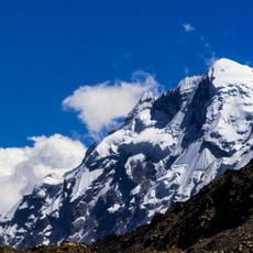
Climbing this peak requires advanced technical skills and specialized mountaineering gear such as ice axes and ropes. Expeditions typically set up base camps around 4,785 meters (15,702 feet), from which higher camps are established for altitude acclimatization.

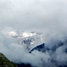
Four named glaciers surround the mountain: Khulia Garvia, Bank Kund, Ratabon, and Tipra Bamak, each feeding different river systems in the region. These ice masses are significant for local water systems and reveal the complex glacial geography of this Himalayan area.

The community of curious travelers

AroundUs brings together thousands of curated places, local tips, and hidden gems, enriched daily by 60,000 contributors worldwide.

Start exploring
Location
Joshimath Tehsil
Elevation above the sea
6,474 m
GPS coordinates
30.78351,79.64413
Latest update
December 12, 2025 17:48
« Nilgiri Parbat - Mountain summit in Garhwal Himalayas, India » is provided by Around Us (aroundus.com). Images and texts are derived from Wikimedia project under a Creative Commons license. You are allowed to copy, distribute, and modify copies of this page, under the conditions set by the license, as long as this note is clearly visible.

Discover hidden gems everywhere you go!

From secret cafés to breathtaking viewpoints, skip the crowded tourist spots and find places that match your style. Our app makes it easy with voice search, smart filtering, route optimization, and insider tips from travelers worldwide. Download now for the complete mobile experience.

Around Us App Screenshot

A unique approach to discovering new places

Le Figaro

All the places worth exploring

France Info

A tailor-made excursion in just a few clicks

20 Minutes

Around Us
Travel Guide & Maps
Download

Send to your phone

QR Code
1

Open the camera app on your mobile.

2

Point at the QR code with your camera. A notification will appear.

3

Tap the notification to open the link.