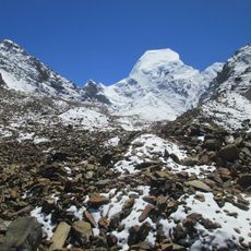
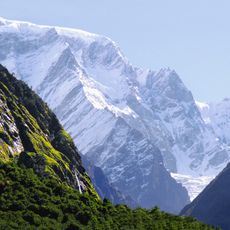
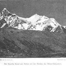
Abi Gamin, Himalayan mountain peak in Chamoli district, India
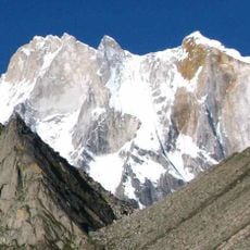
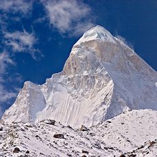
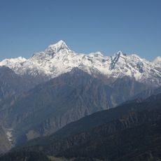
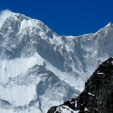
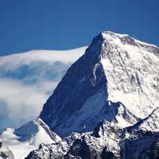
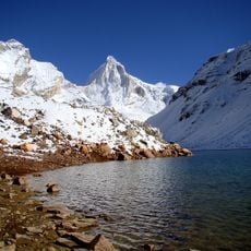
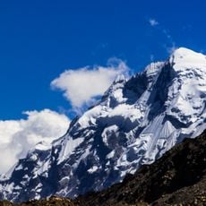
Abi Gamin is a 7,355 m Himalayan peak on the India–Tibet border, in Chamoli district, Uttarakhand, about 2 km northeast of Kamet. Its northern slope lies in Tibet's Ngari Prefecture. It rises at the culminating point of the Zaskar Range, on the watershed between the upper Alaknanda and Dhauli rivers, and is separated from Kamet by the 7,138 m Meade's Col.
Richard Strachey surveyed the peak group in 1848, the first time these heights were recognized. In 1855 the Schlagintweit brothers named the range's three summits Western, Central and Eastern Abi Gamin, now Mukut Parbat, Kamet and Abi Gamin. That year they also attempted the climb from Tibet, reaching about 6,700 m on Abi Gamin.
The mountain stands at the watershed between the upper Alaknanda and Dhauli rivers, near Manna and Niti passes, marking traditional trade routes between India and Tibet.
Climbers reach this summit via multiple routes, including the northeast ridge over Mana Pass and the Purbi Kamet Glacier route. The climbing season is brief, with the best conditions occurring during the warmer months when snow and weather are most stable.
The Schlagintweit brothers' 1855 attempt, long credited as a Kamet altitude record, was in fact made on Abi Gamin; they turned back around 6,785 m. The peak's first ascent came only on 22 August 1950, when René Dittert, Alfred Tissières, Gabriel Chevalley and Sherpa Dawa Thondup reached the top in clear, nearly windless weather.
The community of curious travelers
AroundUs brings together thousands of curated places, local tips, and hidden gems, enriched daily by 92,870 contributors worldwide.